Day 47: Where Is The Snow?

June 3, 2017

Total miles: 16.1 miles

Start: Death Canyon Creek (mile 730.8)

End: mile 747.0

Total elevation gain/loss: 3389.1/1619.1 ft

I was woken last night at 3:45am to the sound of the group nearby cheering. I guess they were ready to hike. I rolled over and in no time my own 4:30am alarm was going off. Time to get up.

More snow topped mountains in the distance

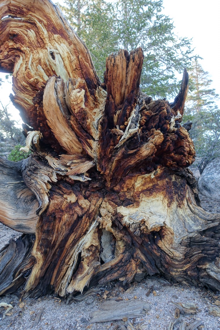
I loved the roots on this overturned tree!


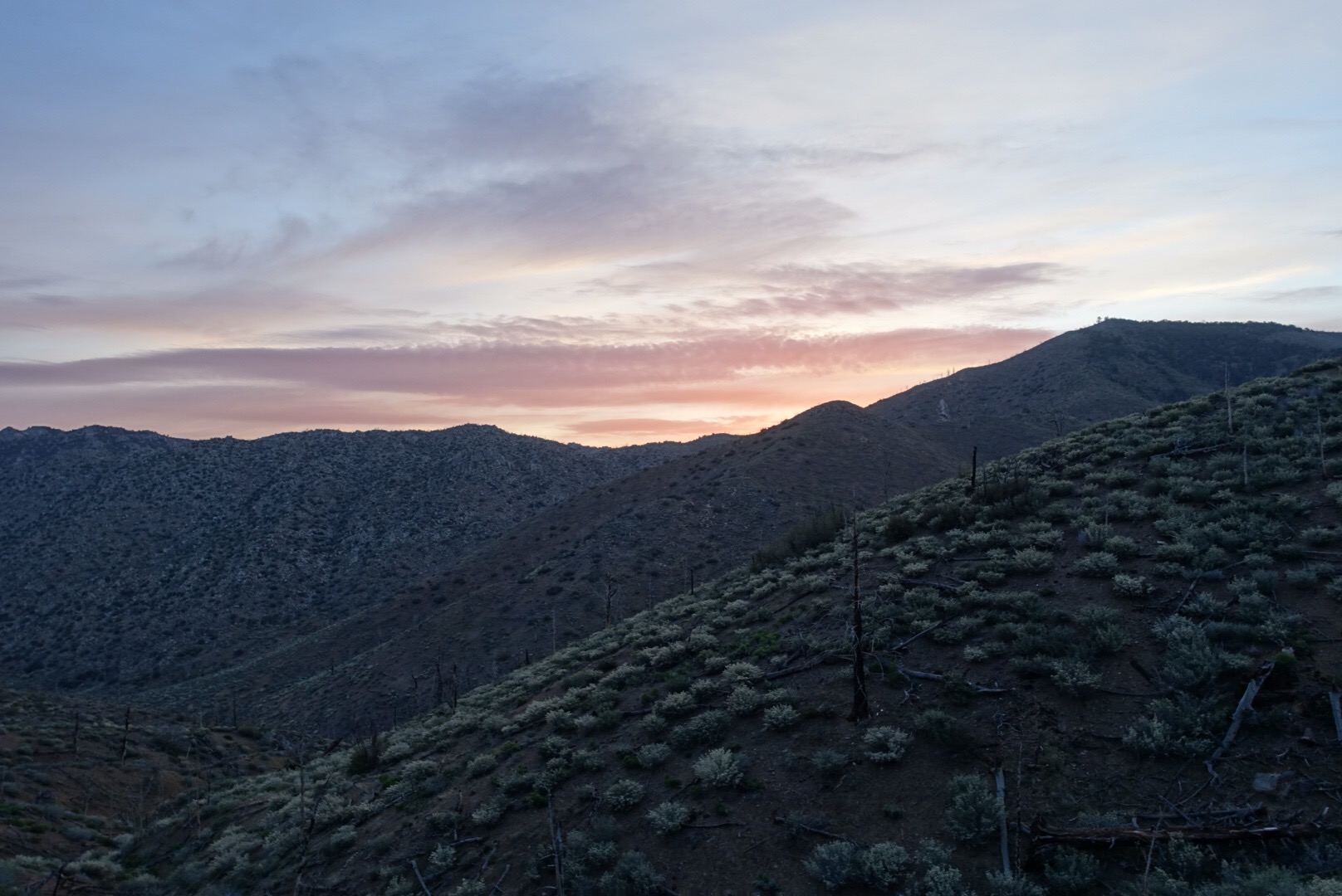
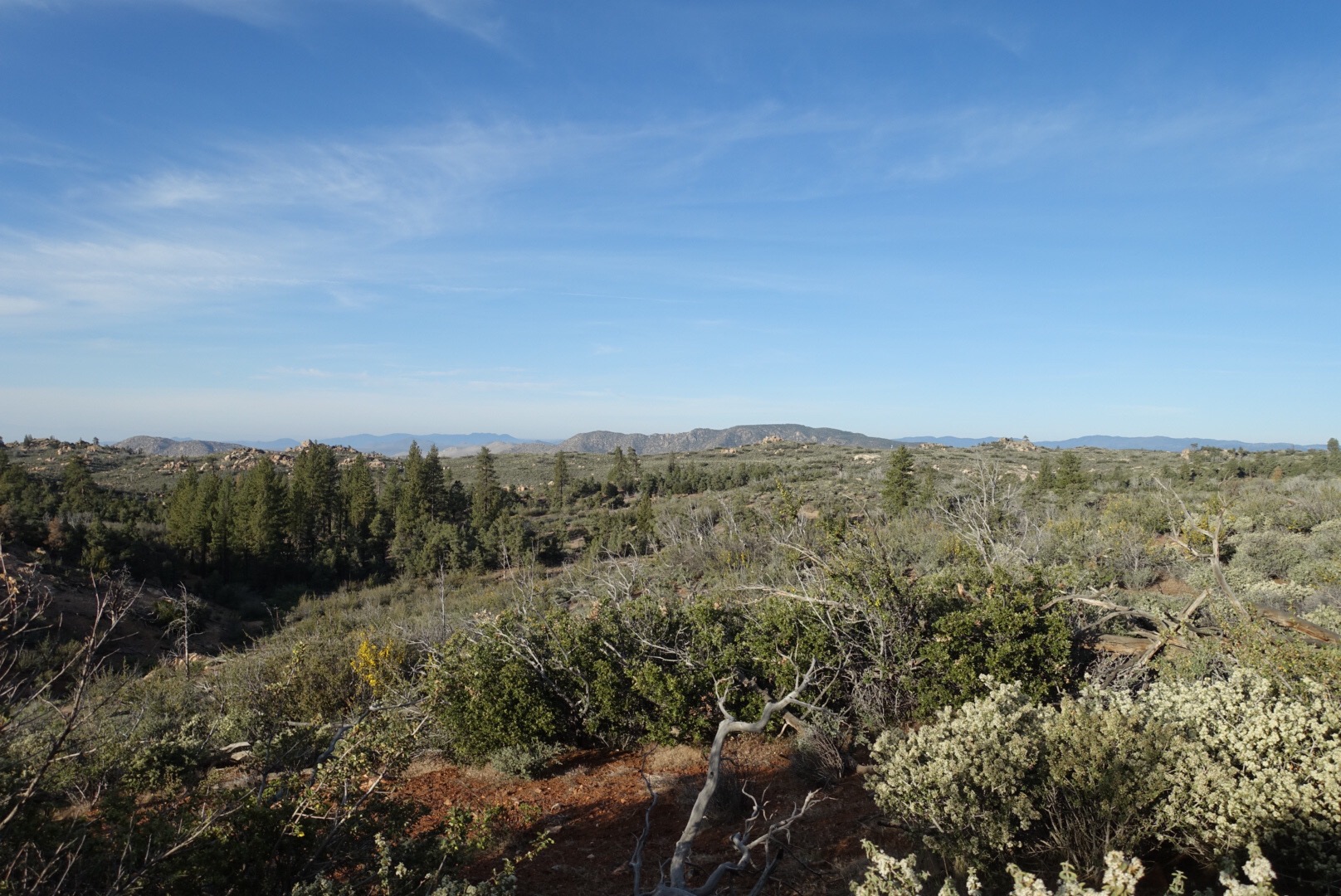
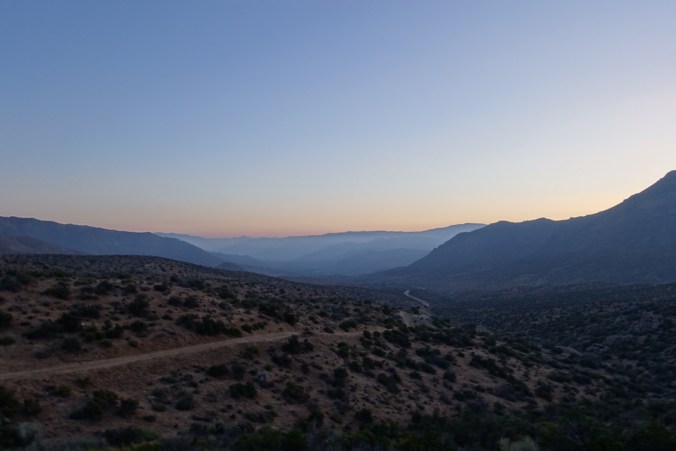
We started the day with a big, waterless climb. The rock formations in this area are intriguing and foreign looking. At every turn there was a new outcropping, making the climb enjoyable. There was surprisingly no snow on the way up, but I guess that’s why it was waterless. I overpacked water and barely touched my bottles until I was near the top. Near the top of the climb, we had a few of the normally dry, but currently wet, Owens Valley.

View of Owens Valley. There was a large snow patch at the top of the climb, but not on trail.


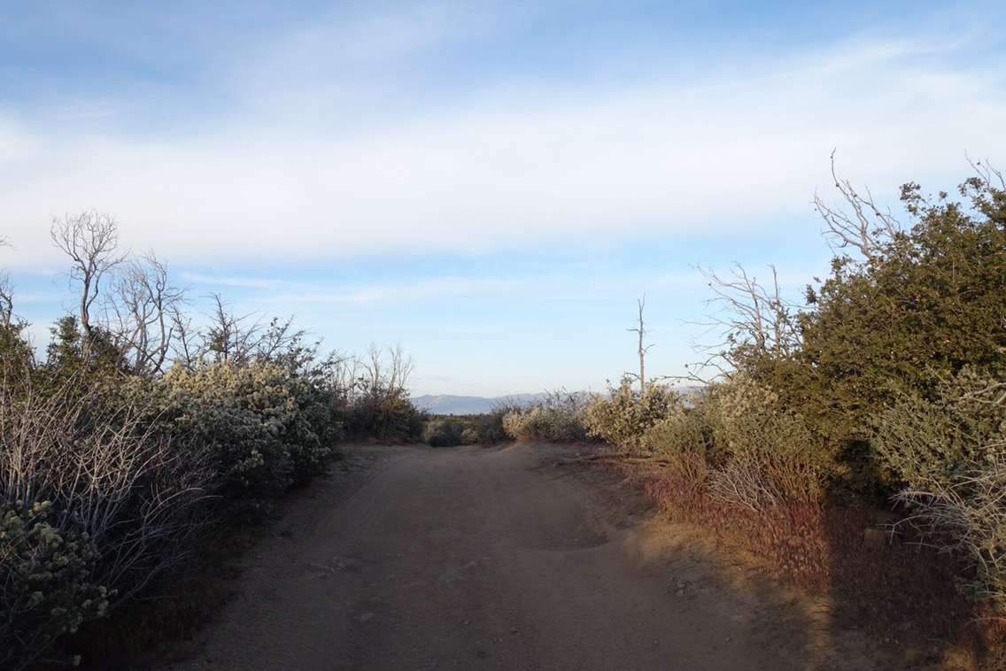
We’d heard that the snow started at the top of the climb (mile 735). There were a few patches, but nothing major. We did our best to take advantage of snow-free trail to make up yesterday’s miles during the descent.

A small patch of snow.

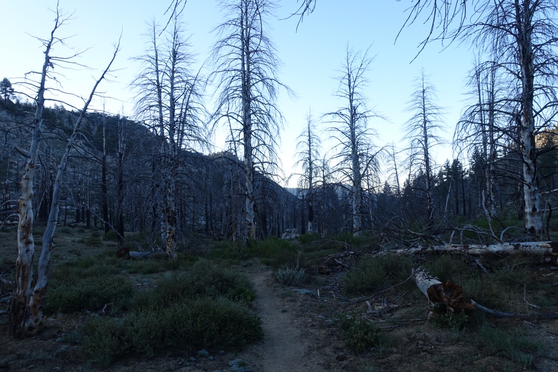
Another cool shell of a tree.


Continue reading

Day 46: Where Is Everyone?

June 2, 2017

Total miles: 20.3 miles

Start: mile 710.5

End: Death Canyon Creek (mile 730.8)

Total elevation gain/loss: 4165/2553.5 ft

We were woken last night by the wind, which came as a surprise because it was calm last night. We’d staked our tent in a fairly sandy area and Michael realized that one of the stakes had come out during the night (which he was able to fix without getting out of bed). It wasn’t until our alarm went off that I realized that the stake near me had also come out. No wonder our tent had become so loud in the wind. It was flapping around and we’re lucky it hadn’t simply collapsed on us!

More burn zone


Continue reading

Day 45: We’re off into the High Sierra!

June 1, 2017

Total miles: 8.3 miles

Start: Kennedy Meadows (mile 702.2)

End: mile 710.5

Total elevation gain/loss: 1668.3/336 ft

**Instead of delaying our Sierra posts to spread them out, I’m going to upload them as fast as I can in case others on trail may find them helpful.  Sorry for flooding anyone’s inbox!

Despite sleeping in a hotel, there was no sleeping in for us today. We still had lots of our town chores to do, including additional laundry, blog uploads, and the ultimate challenge — fitting everything in our bags. Not a simple task when you’re trying to fit a bear can, additional clothing and gear, and a whopping nine days of food. But we did it!

Out of focus, but Michael was clearly in need of new socks.

Hard to believe that the shoes on the left used to look like the ones in the right. They held up pretty well for having about 660 miles on them!


Continue reading

Day 44: Anniversary Hike Into Kennedy Meadows

May 31, 2017

Total miles: 13.8 miles

Start: mile 689.1

End: Ridgecrest/Kennedy Meadows (mile 702.2)

Total elevation gain/loss: 1253.6/2348.8 ft

Today was special for two reasons.  First, it marks our nine-year wedding anniversary (this is actually the second year in a row that we’ve been on a long hike during our anniversary)!  Second, today was the day the we’d be hiking into Kennedy Meadows — the gateway to the High Sierra segment of the PCT.

The PCT is technically trail number 2000, but this is the first trail sign that I’ve noticed that uses the designation.

Continue reading

Day 41: Thank Goodness for Water Caches

May 28, 2017

Total miles: 23.5 miles

Start: Kelso Road (mile 615.9)

End: mile 639.4

Total elevation gain/loss: 4938.3/3309.4 ft

Last night was the warmest night we’ve had so far on the trail. I basically couldn’t stay in my sleeping bag and had to keep my arms out of the bag — unheard of with all our cold nights thus far. When we got up with our 4:30 alarm, it was still only slightly chilly.

Now I know why we talk about “purple” mountains.

Continue reading

Day 39: The Jekyll and Hyde of the PCT

May 26, 2017

Total miles: 22.9 miles

Start: mile 570.1

End: mile 592.9

Total elevation gain/loss: 4249/3883.2ft

Today started out bad, got worse, got worse again, and then actually turned out to be okay. That’s life on the PCT I guess!

I slept horribly last night. The wind seemed to grow stronger during the night. Even in our semi-protected spot and with earplugs it kept me up. When our 4:30 alarm went off, the wind was still raging and we decided to push it back to 5:00… and then 5:30. By then, it was clear that the wind was not going away and we just needed to get up and deal with it.

As we packed up, Michael discovered that he was missing his rain jacket. We looked everywhere, but we simply didn’t have it. As luck would have it, this was one of our few camp sites where we actually had decent cell/data signal. I called the hotel to see if they’d found it. Nope. It must have fallen out of his full pack at some point. Maybe during one of our hitches?

Continue reading

Day 38: Time to Leave Tehachapi 

May 25, 2017

Total miles: 3.5 miles 

Start: Tehachapi (mile 566.5)

End: mile 570.1

Total elevation gain/loss: 964.6/139.4ft

Getting out of town after two zero days is tough! Today’s remaining town chores consisted of an assortment of packing/cleaning remaining gear items and various online tasks. We still weren’t done when our noon checkout rolled around, so we just moved on over to the lobby.  

Avocado from the hiker box!

Continue reading