August 4, 2017
Total daily miles: 25.8 miles (15.1 miles PCT; 8.7 miles Hwy 22; 2 miles FR 4220)
Total PCT miles: 1645.2
Start: Whispering Falls Campground/Woodpecker Ridge Trail (mile 2026.8)
End: mile 2052.1
Total elevation gain/loss: 1366.8/2597.4 ft (PCT section only)
Today we faced the difficult decision of what to do about the fire reroute. But first, figuring out what the fire reroute is after yesterday’s news that the entire Mt. Jefferson Wilderness is being (has been?) closed. Easier said than done.

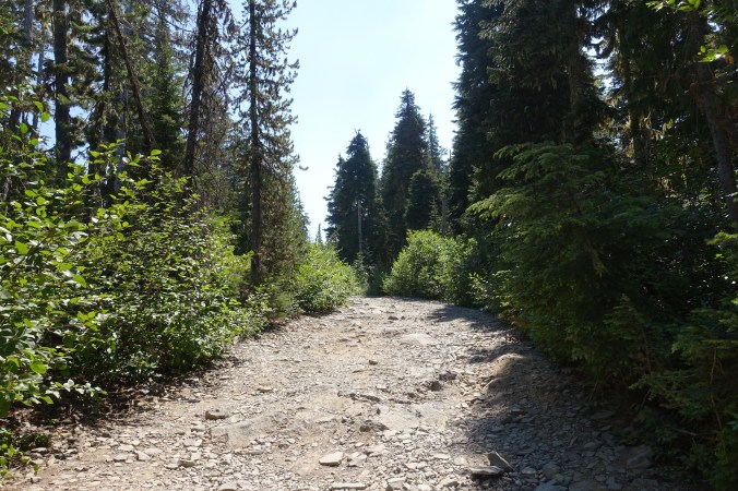
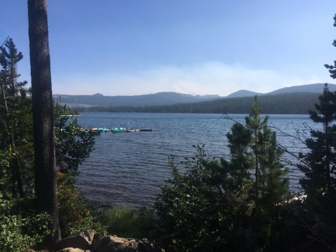
Our morning view.
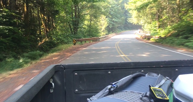
We were up bright and early in our attempt to hit the road before the traffic got too bad. There were definitely fewer vehicles whizzing past us than yesterday afternoon. However, a bunch of the vehicles were oversized trucks that appeared to be carrying heavy equipment to aid in the fire fighting efforts. Not super fun to see those heading towards me. I passed the time by breaking my normal rule about not listening to audio first thing in the morning and immediately dove into a trashy crime drama to help keep me distracted. It helped, but the walking still wasn’t fun or relaxing.
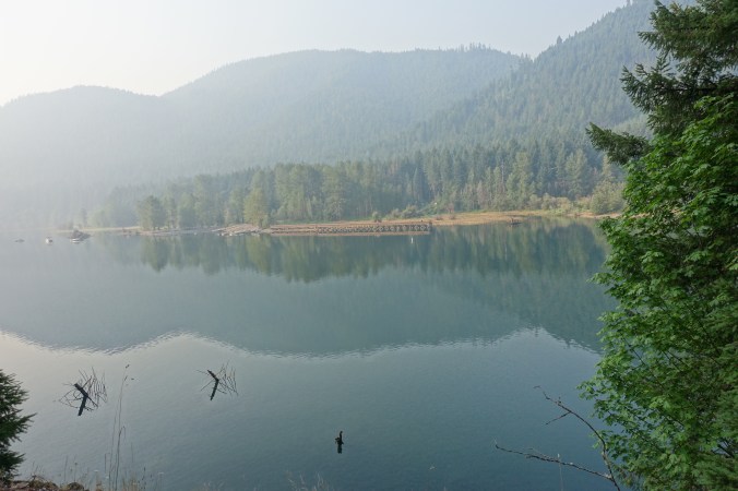
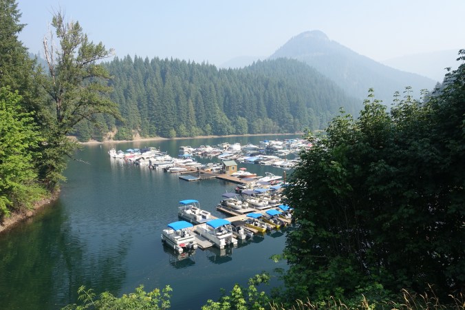
The sky was full of haze as we walked by Detroit lake.
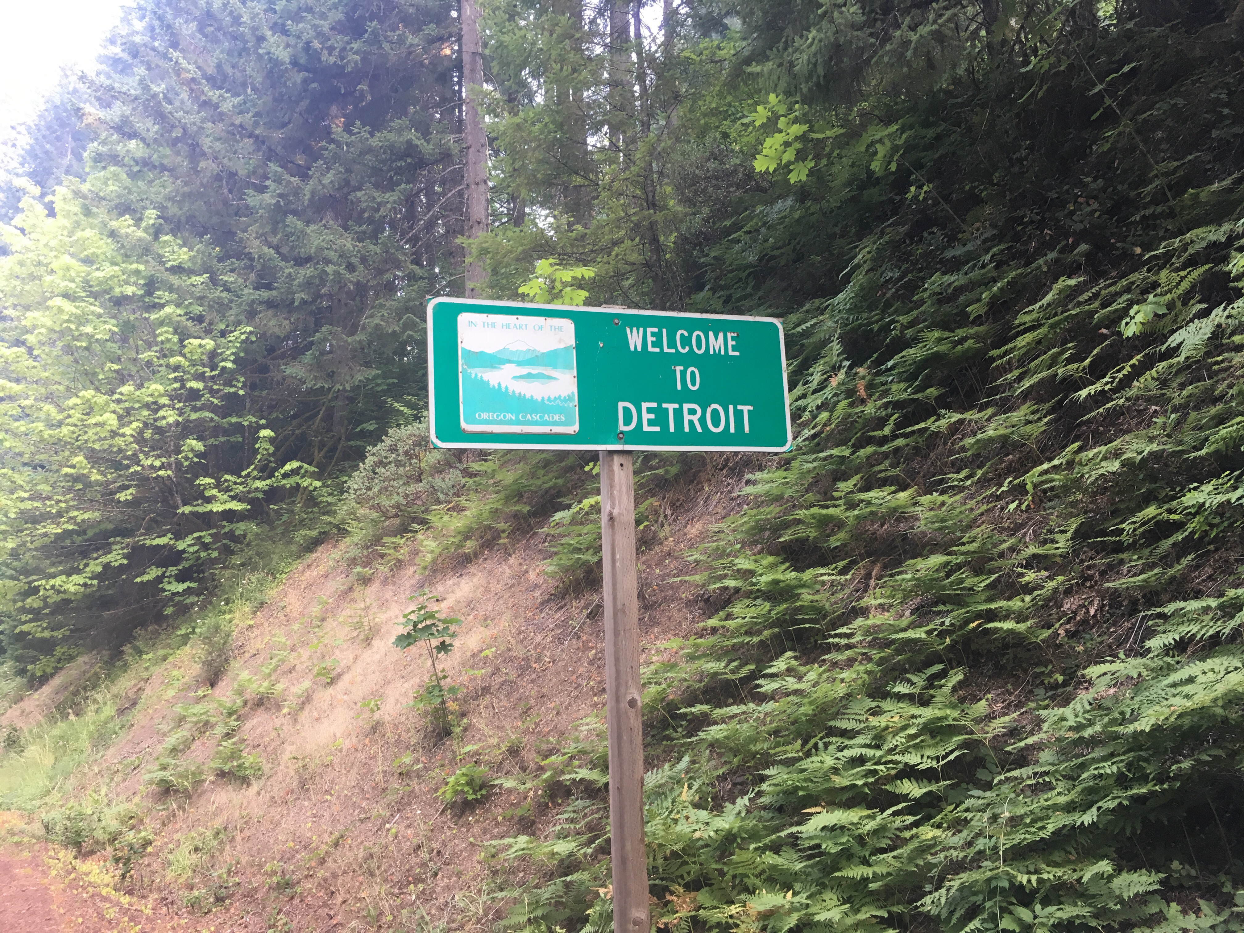
We had almost nine miles before making it to the small town of Detroit. I’d hoped that we could grab a second breakfast at one of the restaurants while using wifi, but neither place that we stopped at had wifi. The restaurant’s recommendation to try for wifi at the motel similarly came to nothing when the woman at the front desk refused to let us hop onto their system. Super frustrating. All of the fire closure maps posted around town were out of date and still showed that Woodpecker Ridge Trail was outside the closure zone. We ran into another hiker, but all he could tell us was that it was easiest to hitch to Olallie Lake — he had no idea where the fire closure technically ends. Someone told us that there was a ranger station across the river, so we headed in that direction only to turn around when we couldn’t figure out how far it would actually be to walk there. Finally, we found a small store/deli/gas station with wifi!
Turns out that having internet access did not automatically solve our problems. The official fire closure information online is still the same outdated notice that we read before leaving Bend. Not helpful! The PCTA’s website wasn’t much more helpful — it noted that the fire had spread but didn’t give specifics of the closure. Interestingly, it does urge hikers not to hike the reroute that it had previously suggested due to the uncertain spread of the fire. Finally, Michael decided to simply call the hotline number on the bottom of the fire closure posters. Turns out, they answered quickly and confirmed that we could get back on trail near Breitenbush Lake via forest road 4220. So much easier than the internet!
Of course, we still had to figure out how we were getting back to the trail. Hitch or walk? Maintaining a continuous path to Canada has always been important to me. But then again, so was not skipping and that didn’t work out either. It turns out that the PCT doesn’t care about your dreams or plans. Honestly, road walking today and yesterday was miserable. The hard ground hurts my feet. The combination of a small shoulder and fast, constant traffic was nerve-wracking and didn’t feel particularly safe. The presence of lots of oversized vehicles didn’t help matters. We’d heard that the next road (Hwy 46) has an even small (or non-existent shoulder). With about 24 miles remaining before joining the trail again (17 miles on Hwy 46 and 7 miles on the forest service road) we also wouldn’t be rejoining the trail until tomorrow. This puts us even further behind what is already feeling like a tight schedule.
A couple days ago I likely would have told you that the practicalities be damned, I was going to keep my continuous footpath. Today, things felt different. I was worried about the fire spreading further, forcing us to miss more miles. And I realized that I really just wanted to get back on trail. We’ve already hiked more miles than we skipped due to the fire closure. So, all of this is to say that we decided to hitch.
We managed to get a hitch fairly quickly with Jacob, a young man originally from the area. I sat in the cab of his truck while Michael rode in the back. Jacob wasn’t planning on going all the way to the forest service road, but ended up going a few miles out of his way to help us out. There’s something about getting another reminder of the kindness of strangers that really helped take the edge off this morning’s stress!
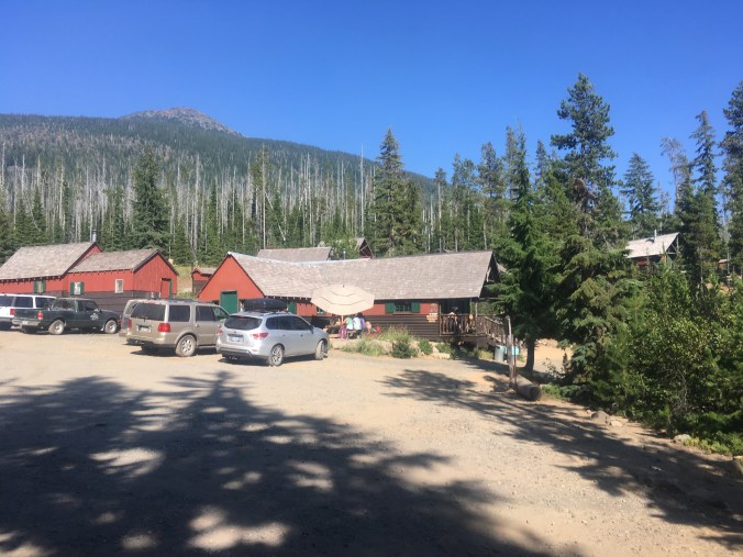
Forrest Road 4220
And then, as if by magic, another vehicle pulled onto the forest road just as we were getting out of Jacob’s truck. We’d figured that we’d have to walk the forest road because it doesn’t get much traffic, but here was another ride in no time flat! These guys were out looking for another spot to watch the eclipse later this month since their original spot is in the burn zone further south. The road ended up being really rough, so we ended up stopping a couple miles short of Breitenbush, but it was still so much faster than walking the whole way!
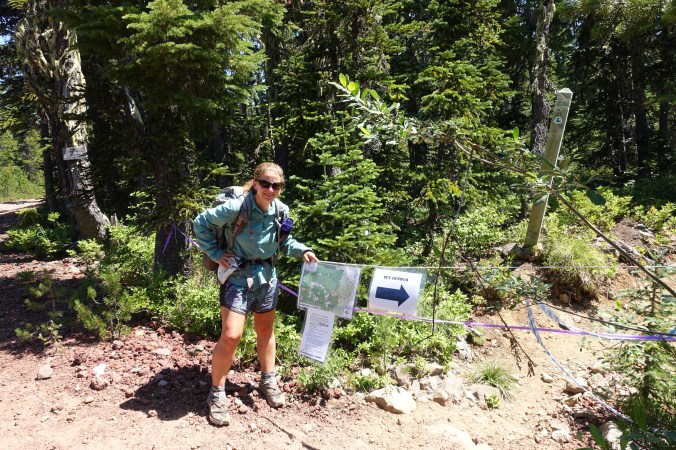
We made it to the end of the fire closure!
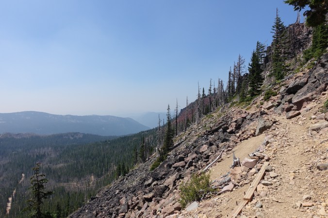
After enjoying lunch near the trailhead, we were back on the PCT! It was an awesome feeling. I know that we weren’t road walking for that long in the grand scheme of things, but it honestly felt like it had been forever since I’d enjoyed the type of quiet and peaceful strip of trail that the PCT provides. The trail initially climbed on an exposed trail along the side of the mountain and offered surprisingly good views considering how bad the air quality had been south of the fire closure. Here, the air seemed much better!
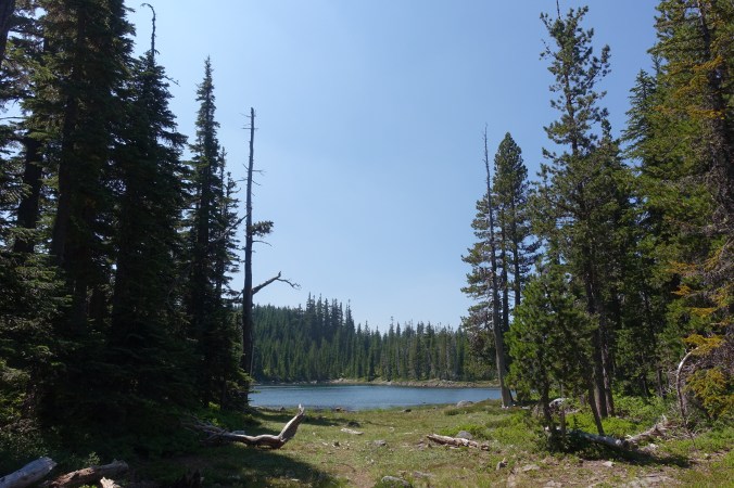


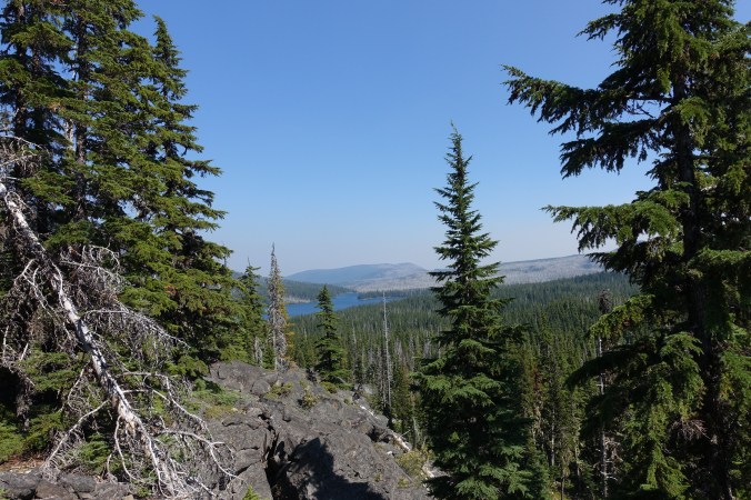
Upper Lake, just before Olallie Lake.
We soon reached Olallie lake and were reunited with a crowd of PCT hikers. It appears that most people had hitched here straight from Bend, so we saw many familiar faces that we’d last passed several days ago. Before Olallie Lake, we’d only seen a few hikers over the last couple days and most were in Detroit (which I think added to the stress of the reroute because I felt very alone in trying to figure out what was going on). The craziest thing was that we ran into Sam and Tam! They’re the couple that we hiked with for a few days over Forrester Pass. We last saw them in Bishop when they decided to road walk their way north around the snow and we decided to skip. It was awesome to see them — they’ve been making great time!
Olallie Lake
Olallie Lake “Resort”
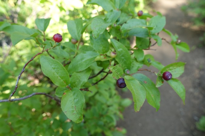
There was rumor of trail magic this evening at Olallie Lake, but we opted to hike on after grabbing a cold soda from the small store. I did the math at lunch, and if we put in a couple of big mile days we can make it to the Timberline Lodge for their infamous breakfast buffet! This will only happen though if we don’t get too slowed down by the berries. I was thinking about the absence of berries along the trail a couple of days ago and it looks like we finally hit the jackpot. Lots of berries!!
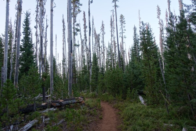
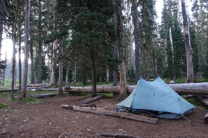
The trail after Olallie Lake was a mix of time in the trees, a couple small lakes, and some older burn zone. It all seemed very normal after our last couple of days. We pushed later into the night than I’d normally prefer and arrived at camp after 8pm. The bugs are back, especially near water, but luckily we’re far enough away from the stream to avoid the worst of the swarm. Between the bugs and the angry couple that we’re camped nearby, we opted to eat in our tent again. It was nice to have dinner outside while it lasted…
Current ailments:
Elizabeth: left shoulder still hurting
Michael: left foot still hurting
