Day 73: Up Onto Hat Creek Rim

June 29, 2017

Total daily miles: 23.1 miles

Total PCT miles: 987.4 miles

Start: mile 1371.2

End: mile 1394.3

Total elevation gain/loss: 1665.4/2192.3

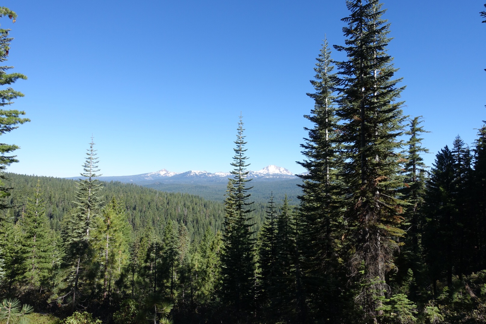
Today we hiked the infamous Hat Creek Rim. It’s known for being an especially hot and dry segment of the PCT plopped down in the middle of tree-covered mountain passes. We’d been warned to night hike the rim, but we didn’t really set ourselves up well for the timing to night hike and we honestly aren’t huge fans of night hiking to begin with. So daytime hiking it would be.


Continue reading

Day 71: Into Lassen We Go

June 27, 2017

Total daily miles: 18.8 miles

Total PCT miles: 940.9 miles

Start: Chester (mile 1328.8)

End: Warner Valley Campground (mile 1347.8)

Total elevation gain/loss: 3167/2573.8 ft

We were up to the smell of cinnamon rolls this morning! Yum! It was a nice treat to start my day with something other than trail food. Staying with Sean and Kari was such a treat — we immediately felt at home and like family.

We headed out to the trail head with Sean at about 6:30, trying to beat the heat and get a jump on our first day back on the trail. I was feeling a little creaky in the joints after six zeros, but the first few miles were a nice, easy reintroduction to the trail. It was largely flat and hidden in the woods, which made for a nice, cool morning of walking. 

My first equestrian sighting on the PCT!


Continue reading

Day 63: Over the Rivers and Through the Woods

June 19, 2017

Total daily miles: 20.8 miles

Total PCT miles: 903.8 miles

Start: William’s Cabin site (mile 1290.2)

End: Robbers Spring (mile 1310.7)

Total elevation gain/loss: 5144.4/2637.5 ft

We made it out of camp before Matt this morning. He thought we’d hit the snooze button (we get ready in the dark) and decided to snooze a bit longer himself. We headed out, knowing that he’d catch up quickly (and we were right!).

This morning’s climb featured a bunch of creek crossings. Even the so-called “seasonal creeks” presented a challenge. There’s lots of water out there! There were a couple of crossings that we thought would get us wet, but we managed to find logs to keep our feet dry. Even if the crossings had been wet crossings, they all looked very calm and doable. Of course, my feet still ended up a bit wet on some of the smaller crossings where I just missed jumping across. Go figure.

We had to climb over the huge root structure on this log, but otherwise it was an easy crossing.


Continue reading

Day 52: Out Kearsarge Pass

**We just realized that the following post about our exit from the High Sierra was still in our drafts folder and was never posted.  Here’s our blast from the past!  Better late than never, right?**

June 8, 2017

Total miles: 6.4 miles

Start: 0.8 miles down Bullfrog Lake trail (off PCT mile 788.5)

End: Onion Valley Trailhead (off PCT mile 788.5)

Total elevation gain/loss: 1178.1/2612.2 ft

It’s town day! There’s always something a bit different when you’re heading into town. It hit me this morning even though I’m not actually that excited about going into town today. I think it’s the knowledge that you’ll be able to eat to your full later in the day now, so you can run closer to empty as you push toward town.

I dropped the tent and insisted that Michael turn around when I saw this sunrise. He thought I’d seen a bear.

Continue reading

Day 59: It Gets Better

June 15, 2017

Total daily miles: 17.5 miles

Total PCT miles: 834.7 miles

Start: West Branch of Beartrap Creek (mile 1224.1)

End: mile 1241.6

Total elevation gain/loss: 3001.6/3971.1 ft

Finally a good hiking day!  It seems like it’s been forever since we’ve walked this far (or seen this much dry trail).  I’ll take it!

We awoke to a dry tent (score!) and another deer sighting.  This time the deers stayed further away, although I suspect that they invaded our camp site as soon as we’d walked off.

Continue reading

Days 53 & 54: Decision Time

Our plan to spend a single zero in Bishop morphed into two zeros. I guess we should know by now that the PCT doesn’t care about your plans. Like our plan to continue back up from Kearsarge Pass to Mammoth.  

As I mentioned before, the reports of the stream crossings in that section are not encouraging. In fact, they’re downright scary. Even worse are the reports of the crossings north of Tuolumne. It’s likely that water levels will only rise in the next couple of weeks. After a couple days of cool weather coming up (including more snow…), it looks like things will be significantly warming up. That’s great for getting rid of the high snow levels, but not so good for stream crossings.

Baked goods from Schat’s Bakery obviously were necessary in our decisionmaking process.

Except it meant that we had to decide what to get 😦


Continue reading