**We just realized that the following post about our exit from the High Sierra was still in our drafts folder and was never posted. Here’s our blast from the past! Better late than never, right?**
June 8, 2017
Total miles: 6.4 miles
Start: 0.8 miles down Bullfrog Lake trail (off PCT mile 788.5)
End: Onion Valley Trailhead (off PCT mile 788.5)
Total elevation gain/loss: 1178.1/2612.2 ft
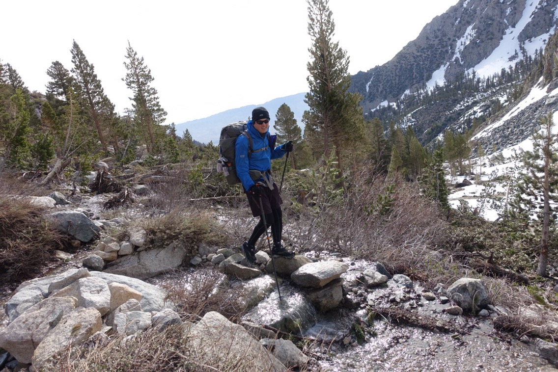
It’s town day! There’s always something a bit different when you’re heading into town. It hit me this morning even though I’m not actually that excited about going into town today. I think it’s the knowledge that you’ll be able to eat to your full later in the day now, so you can run closer to empty as you push toward town.

I dropped the tent and insisted that Michael turn around when I saw this sunrise. He thought I’d seen a bear.
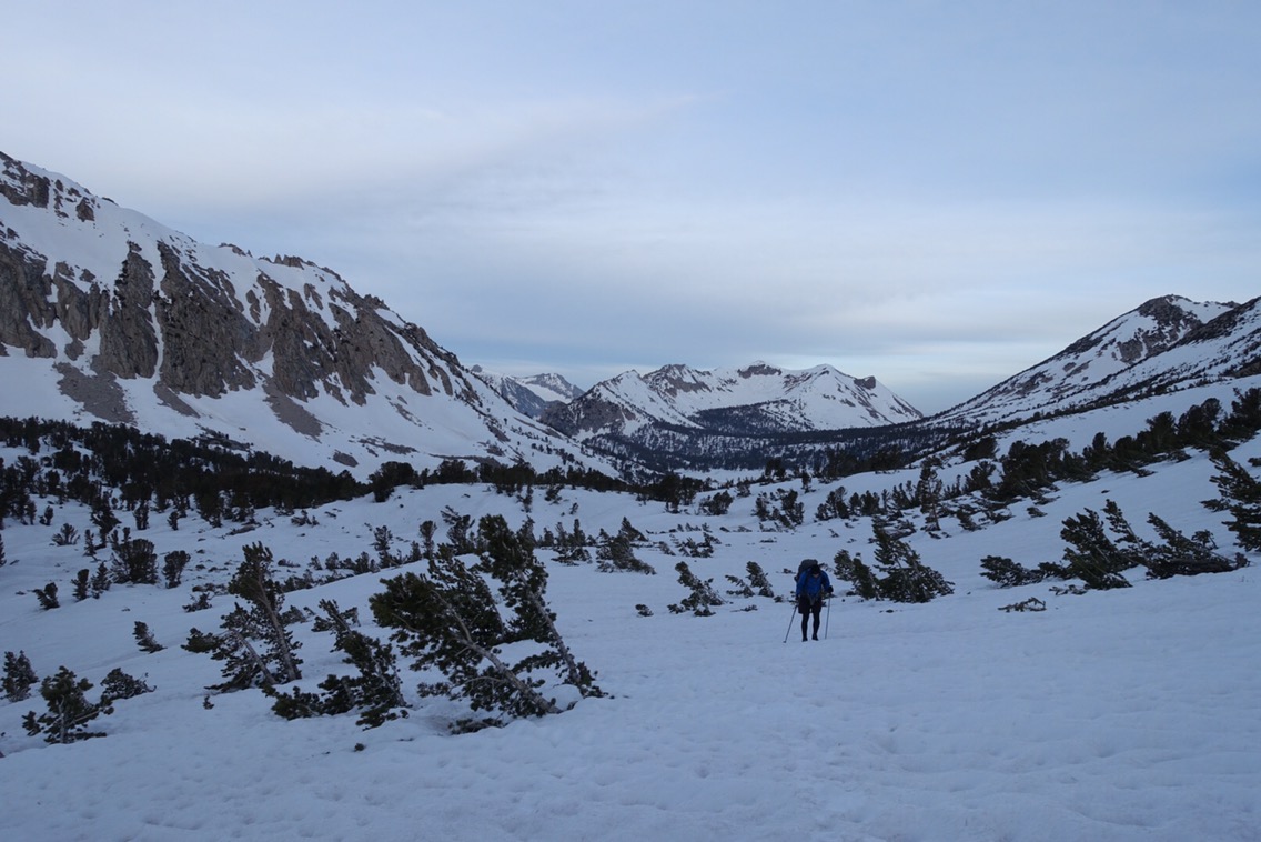
We had about 1200 more feet to climb this morning before we were over Kearsarge. It started out gradually and then we needed to make our own way up a steep hill so that we could connect with the pass’s upper snow-free switchbacks. Sound familiar?
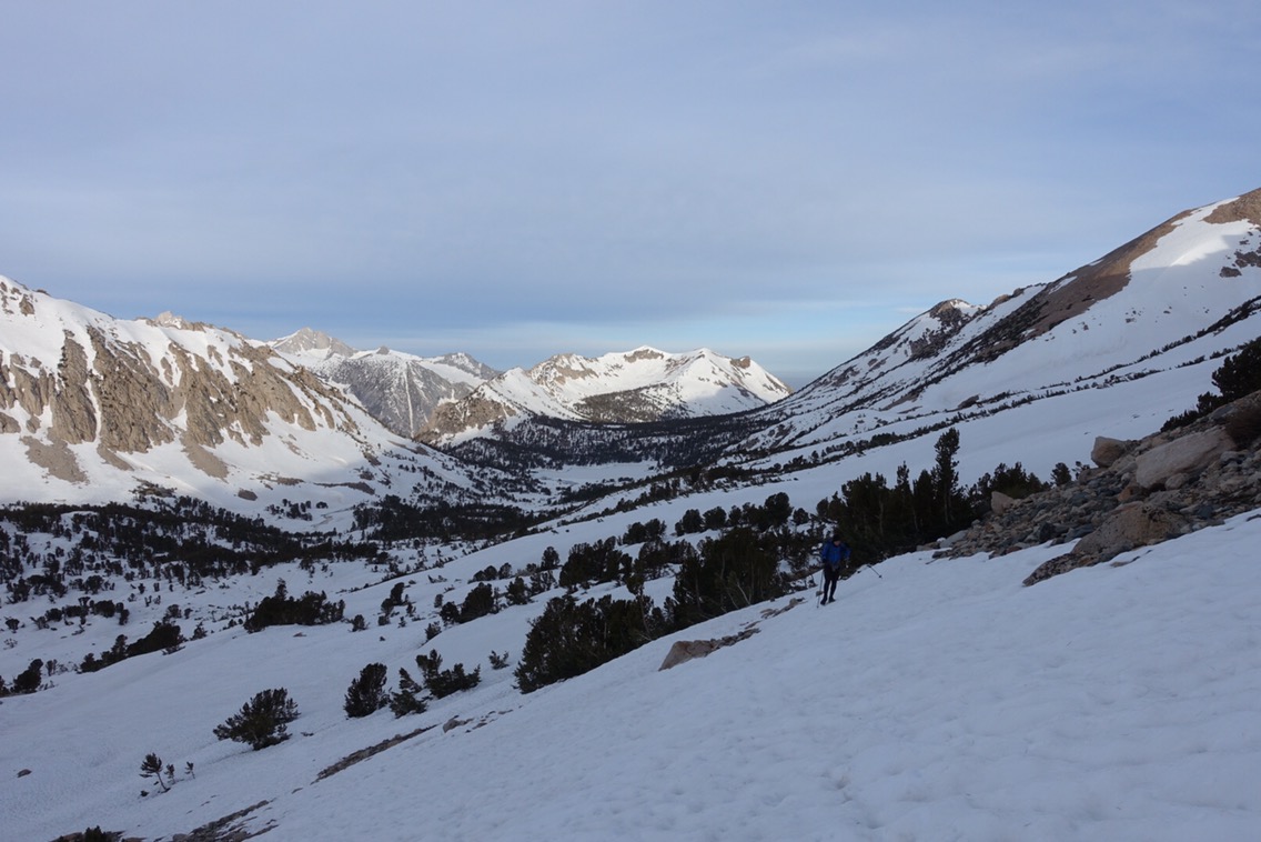
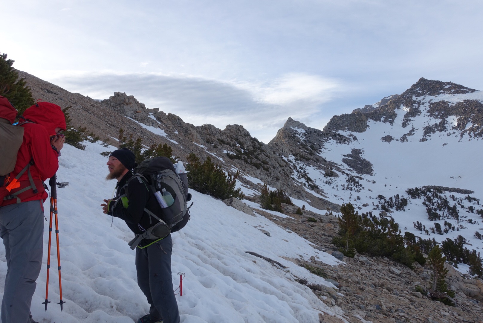
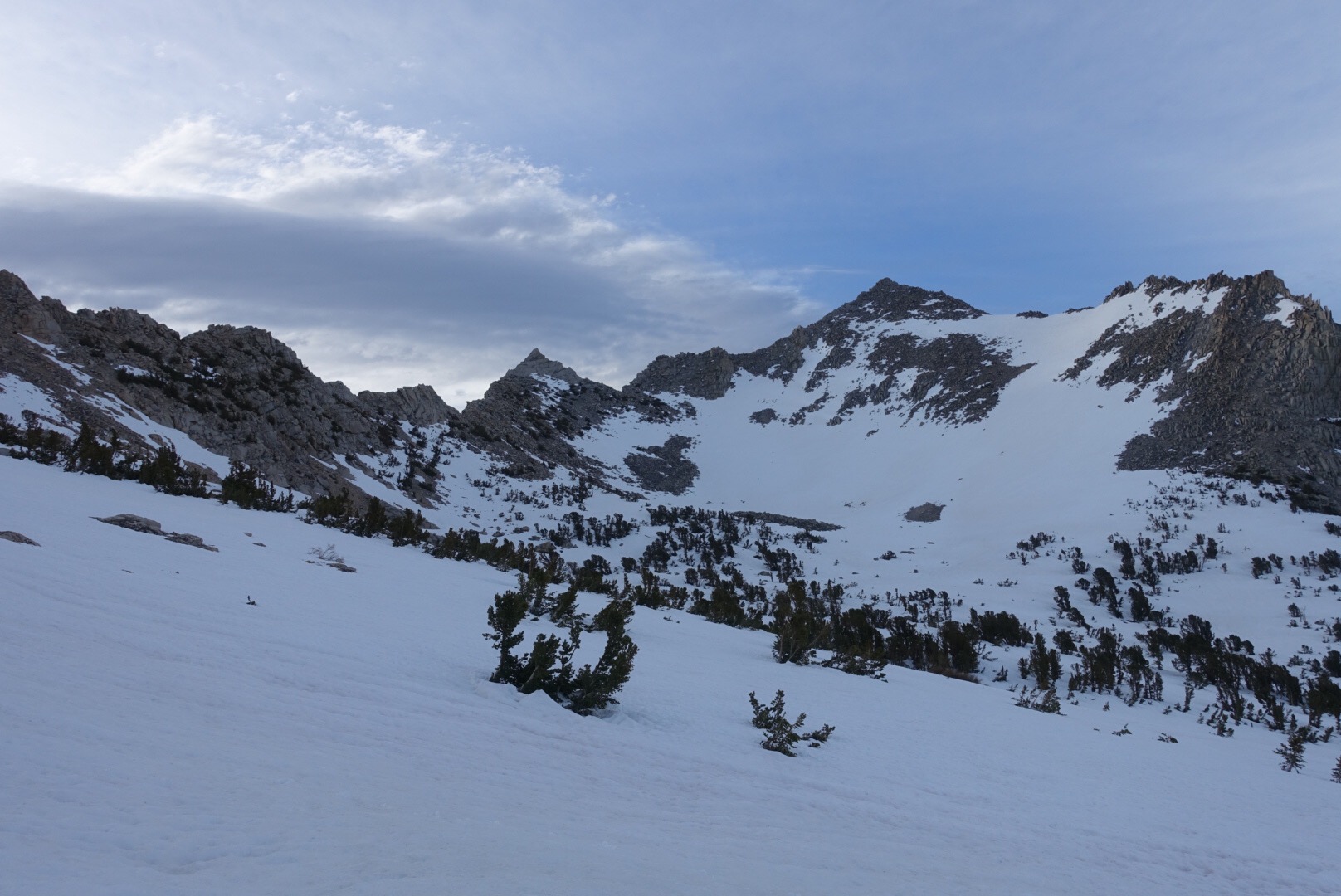
It was a relief to hit the dirt switchbacks. I’d actually found climbing straight up the hill to be easier on my ankles, but it was tiring! Up the switchbacks we went until we were finally at the top of the pass. It was a windy one and we all took refuge behind some rocks while resting for a few moments.
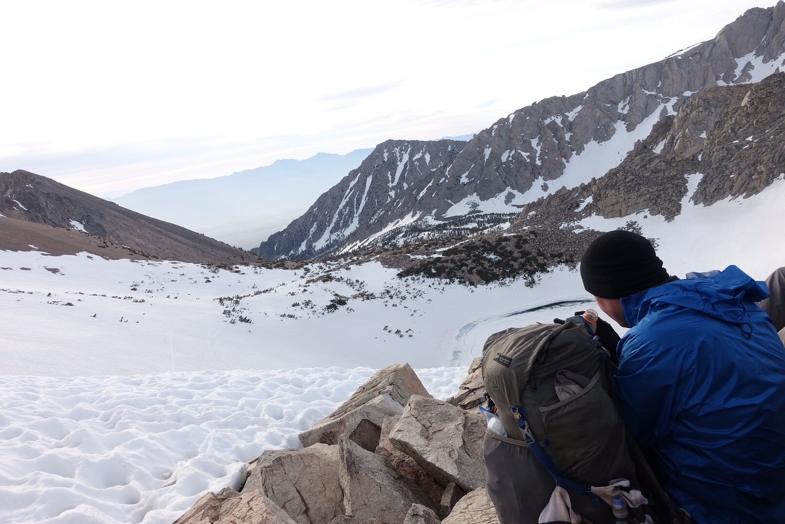
Looking out from the top of the pass.
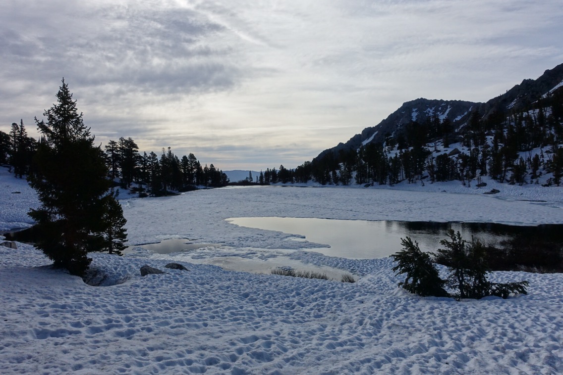

I was delighted when we finally saw the dirt trail. My delight, however, quickly turned to frustration when I realized that the trail had become a creek!
The trail/creek…
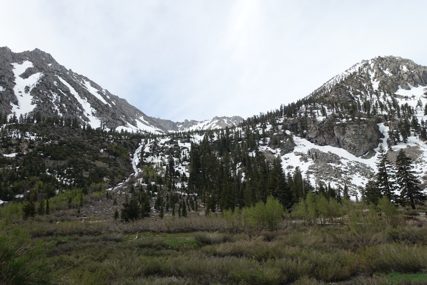
Even the view from the parking lot was awesome! See if you can spot the big waterfall going down the side of the mountain.
I quickly started to wonder if we’d made a mistake. No one was coming or going… except the guy who’d come up to clean the bathrooms (which were amazingly clean and good smelling for pit toilets btw). I approached him and asked if he could give any hikers a ride down the hill. He had room for two! We offered the spots to Sam and Tam after we got their attention, but they insisted we take the spots.
The ride down the mountain is actually pretty long, but we had a good time discussing the trail and surrounding mountains with our ride (and cuddling his dog). Only a couple vehicles came up the road as we went down, so we were especially grateful for the ride!
Once down in Independence we started trying to hitch a ride to Bishop. Easier said than done since no one stopped. After awhile Sam and Tam showed up. They’d made it down the mountain with one of the vehicles that we’d seen going up! They were about to grab their own spot to hitch (to better everyone’s chances) when I did a little dance and finally caught a hitch. We squeezed the four of us in and enjoyed a ride with Celia, who runs the Winnedumah B&B in town. She was on her way to Bishop for shopping and was great to chat with.
After the 40 mile hitch we were finally in Bishop and checked into the Motel 6 (which gave us rooms even though it wasn’t even noon yet!). First order of business was lunch and then we set to work. Michael went to pick up our package at the Post Office while I worked on figuring out our next section.
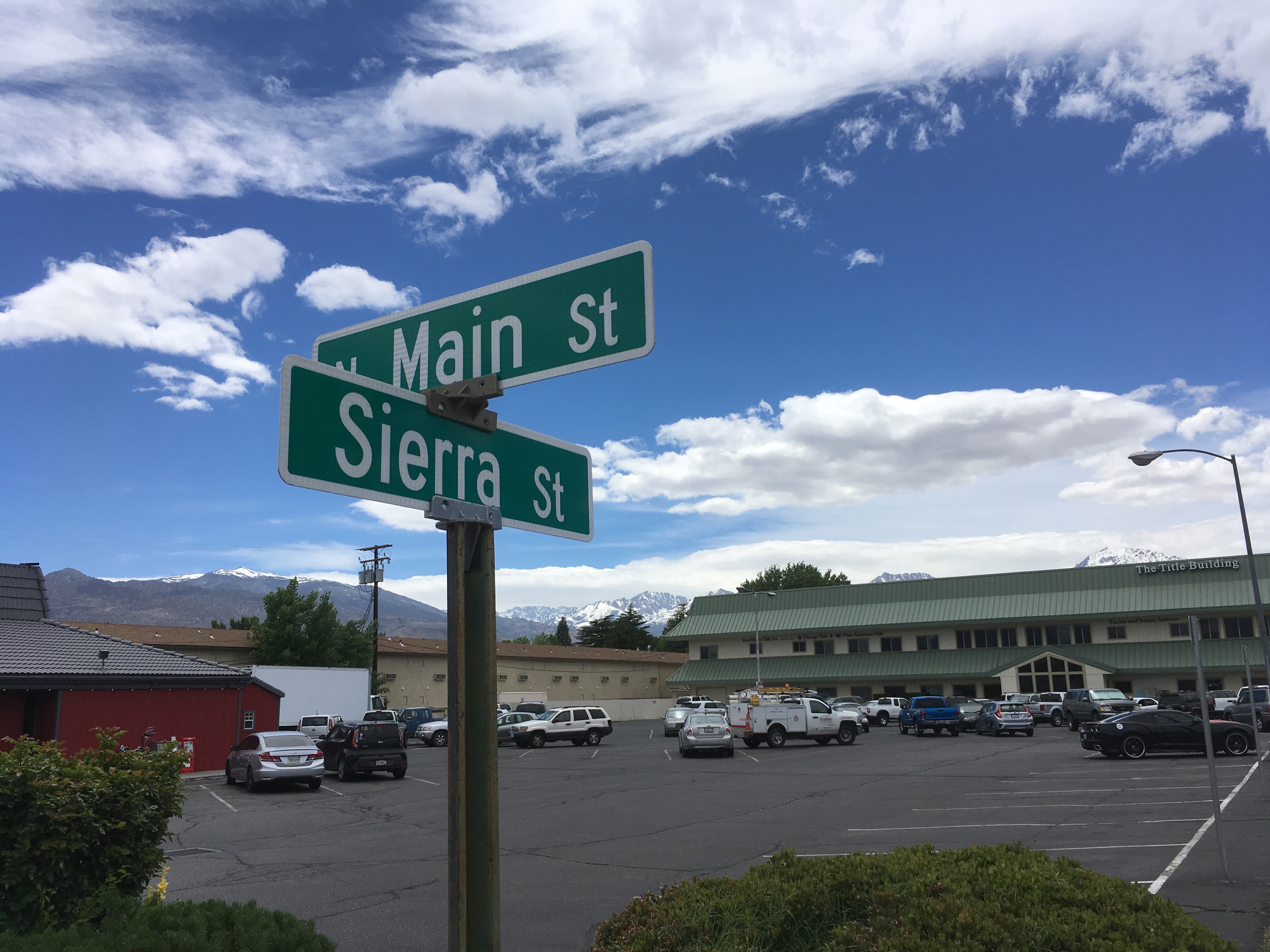
Sierra Street in Bishop, with snow-capped Sierra Nevada Mountains in the background.
We’re thinking that maybe we continue as far as Piute Pass and then exit out to Bishop again. But we’re still trying to get more info. I’m not sure if there is a good answer. It’s looking like my hope to hike a pure northbound PCT hike might not be doable this year. Accepting that fact and figuring out a solution is difficult.
Hopefully a good night of sleep will make things clearer in the morning.
Current ailments:
Elizabeth: sore big toe (only in steep downhills).
Michael: knee pain.

That was a really nice write-up & description of the pacing, techniques & conditions of an early season Sierra hike. For those addicted to the experience, your mild depression sounds familiar. ;/
Piute is a great exit option. You’ll be able to hit the next 4 big passes, completing the true High Sierra in alpine conditions, something that definitely should not be missed if you have the ability and opportunity.
IMO, you should have an ice axe for both Glen & Mather – uphill hand, whippet on the downslope. If you don’t own them, some of the outfitters in Bishop rent equipment.
You’ll hit two major water crossings: the south fork Kings between Pinchot & Mather, and then Evolution after Muir. Your caution & description of Tyndall, Wright & Wallace were very good. All I can add is that perhaps you should look into crossing together as they become more challenging. Here’s a link to an overview:
http://www.wilderness-survival.net/mountain-stream-crossing/plan-prepare/
After Muir, the elevation begins to taper off, creating a difficult snow slush situation without the pay off of commanding views & heights (Donohue is the last blast). Not having personally done it, but a friend claims the section north of Tuolumne (were some drownings almost occurred) is actually the hardest physically.
I think a consensus might form that completing the High Sierra by exiting Piute and returning to Bishop is perhaps the best option. The alternate around Bear/Mono doesn’t look fun, and the next section (with Tuolumne closed) from Mammoth to Sonora is a difficult – and dangerous – snow & water crossing slog.
However, you’ll always have your alpine trek of the High Sierra to remember.
LikeLiked by 1 person
Helen lake – headwaters of the middle fork Kings – below Muir pass:
Go get it if you’re able.
LikeLiked by 1 person
Thanks for the link on river crossings. We knew that we’d likely have to start using group crossings soon. We’re still on the fence about Piute. The reports of the river crossings are intense — evolution was chin high on a guy that’s 5’9″ a week ago! We haven’t personally talked with anyone that’s planning to go back in… looks like everyone’s skipping further north.
LikeLike
If you’re ok with alpine conditions, I think at a minimum you’d want to hike from Kearsarge to Bishop. Glen, Pinchot & Mather are not to be missed. Since you’ve done the JMT, seeing places like Rae lakes & the Golden staircase in spring snow is truly spectacular.
Yours truly @ Wanda:
LikeLike
we are getting a lot of hikers now in Chester it sounds like a are skipping to Truckee then getting back on trail.
hit us up when you guys get close to Chester just passed the half way point we would love to meet you guys.
Sean and Kari (530) 864-1147
LikeLiked by 1 person
Have you heard anything about big river crossings up your way? I don’t mind the snow — the crossings seem to be the most dangerous part right now!
LikeLike
I saw on Facebook some one crossing Evolution Creek below Evolution Valley said water was chest deep, and they thought it had not peaked/crested yet. Be safe. Thanks for your blog. So intense out there.
LikeLike