July 25, 2017
Total daily miles: 30.0 miles
Total PCT miles: 1455.9
Start: Red Cone Spring (mile 1832.8)
End: mile 1862.8
Total elevation gain/loss: 3280.8/3166.7 ft
It only took us 99 days, but we finally hiked our first 30-mile day! And then we immediately stopped, because there’s no prize for hiking 30.1 miles (not that there’s a prize for hiking 30).
Last night’s storm lasted for a few hours and then the rest of the night was calm. Amazingly, we woke to a completely dry tent, both inside and out!

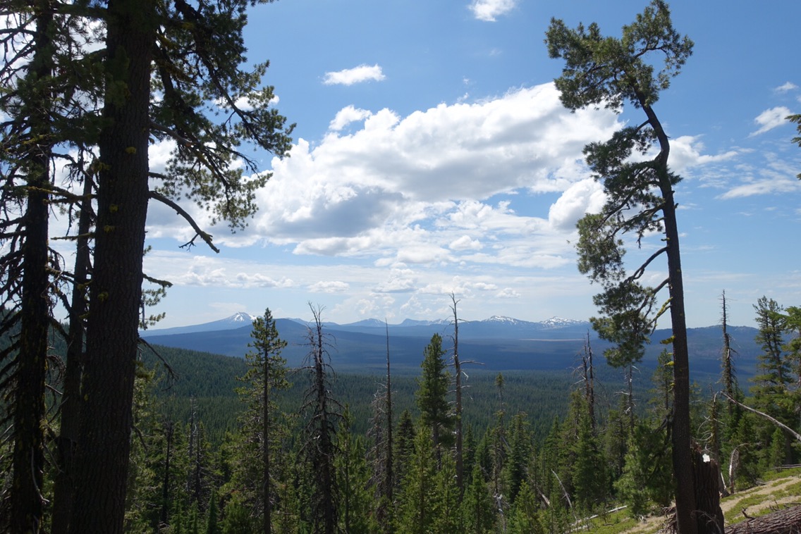
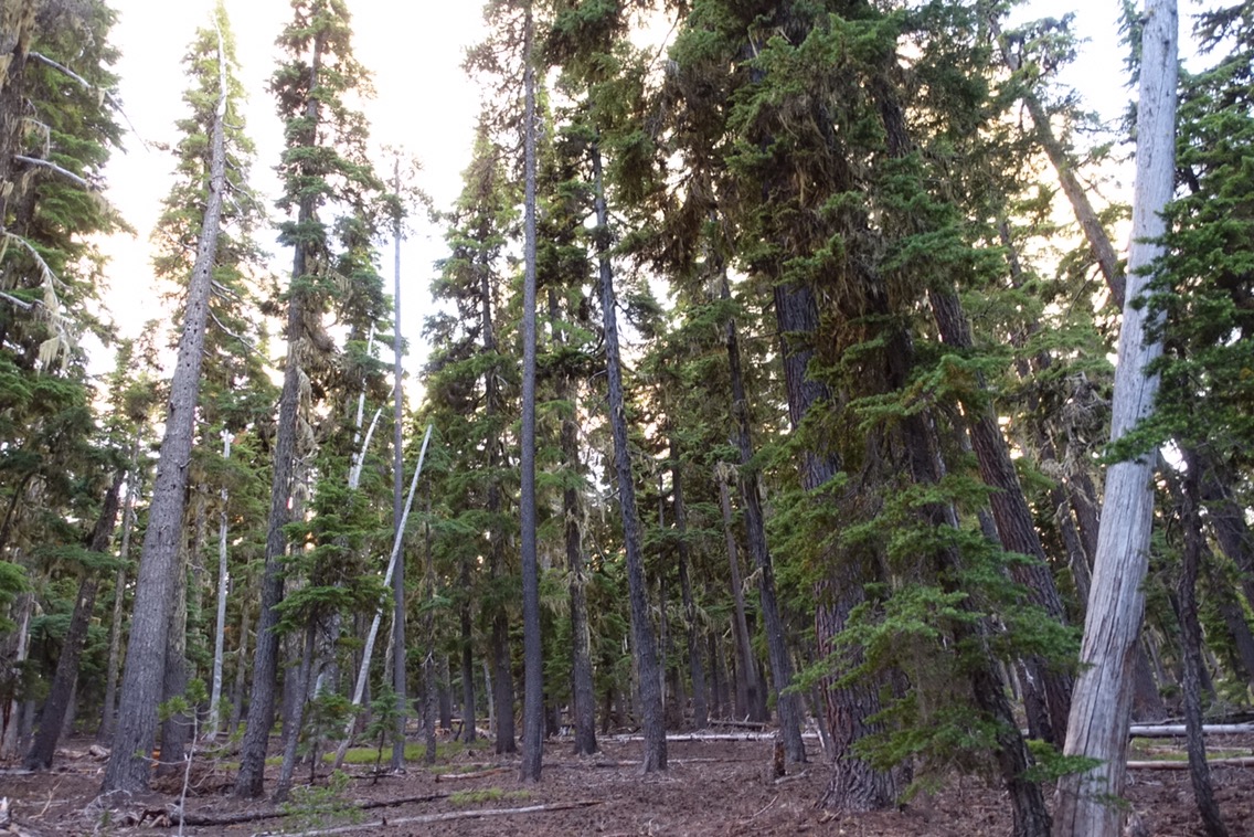
This morning’s hiking was pretty uneventful. The trail went through forest and burn zone with little opportunity to see anything in the distance. I spoke briefly with a couple young women walking the trail in sandals near one of the road crossings. One of them was interested in hiking the trail someday and wanted to see a little piece of it — probably not the most inspiring section to visit in my opinion!
The highlight of my morning was spotting what I think may have been a flying squirrel. Do those exist in Oregon? It looked smaller than a squirrel, larger than a chipmunk, had what looked like extra skin under its armpits, and seemed to run more slowly across the trail than most squirrels I’ve seen (but still got away before I could get my camera out).
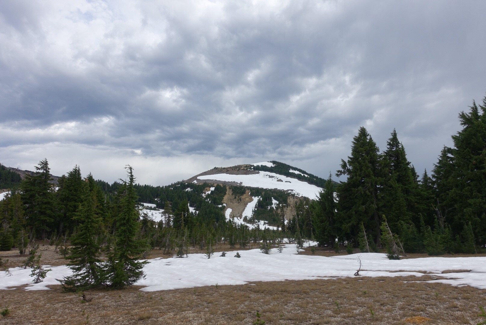
Finally, a view!
With a 20-mile dry stretch before our first water, there wasn’t much reason to stop in the morning. There were a couple of water caches, but I had enough water and Michael only grabbed a little. I did stop for a bit just before lunch to chat with a few of the hikers in the Warrior Expedition program (Bubbles, Pooparazzi, and Endless Summer), which supports veterans interested in completing a thru-hike.


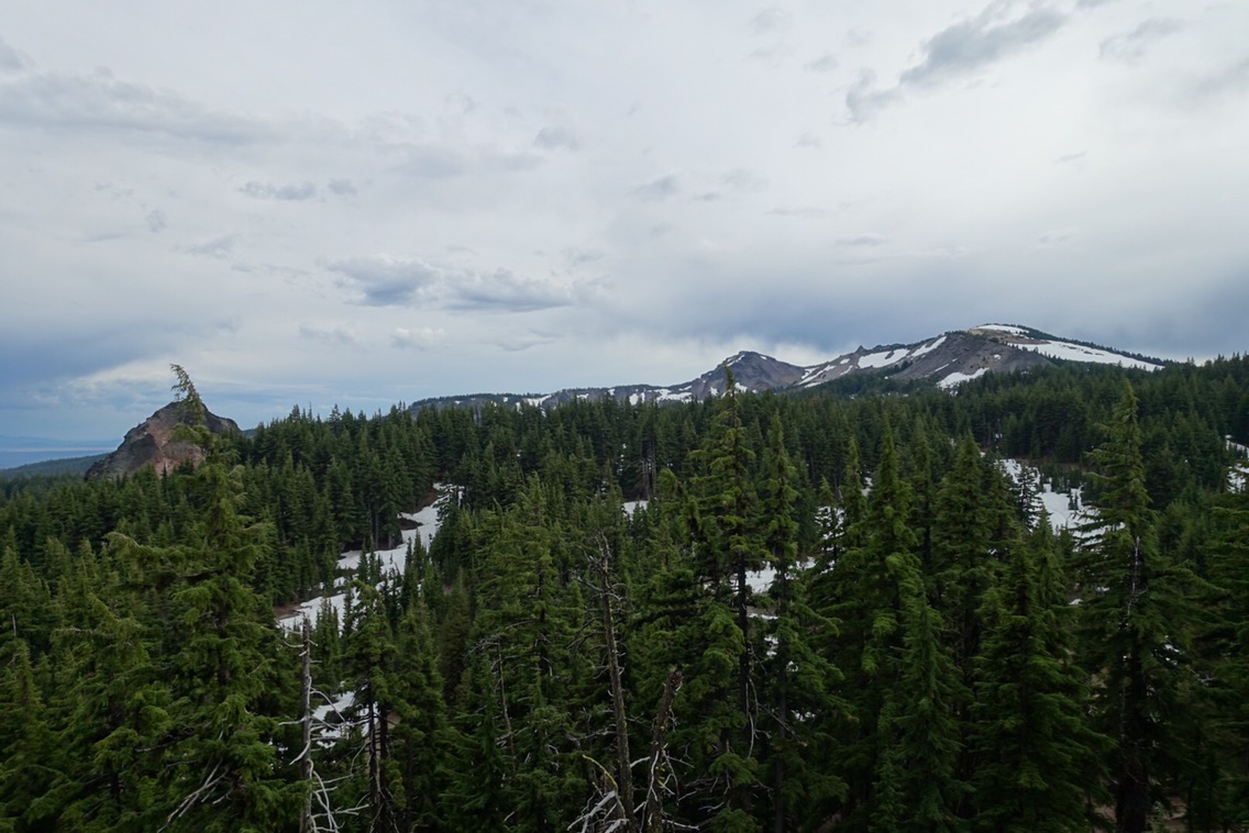
 Mt. Thielsen has such a cool-looking peak!
The trail finally opened up for a bit after lunch to give us views of Diamond Lake and eventually Mt. Thielsen. The raindrops started just as Mt. Thielsen came into view and the trail started to become covered in snow. Perfect. I resisted putting on my pack cover and rain jacket for a bit, but ultimately I had to admit to myself that the rain wasn’t going to let up.

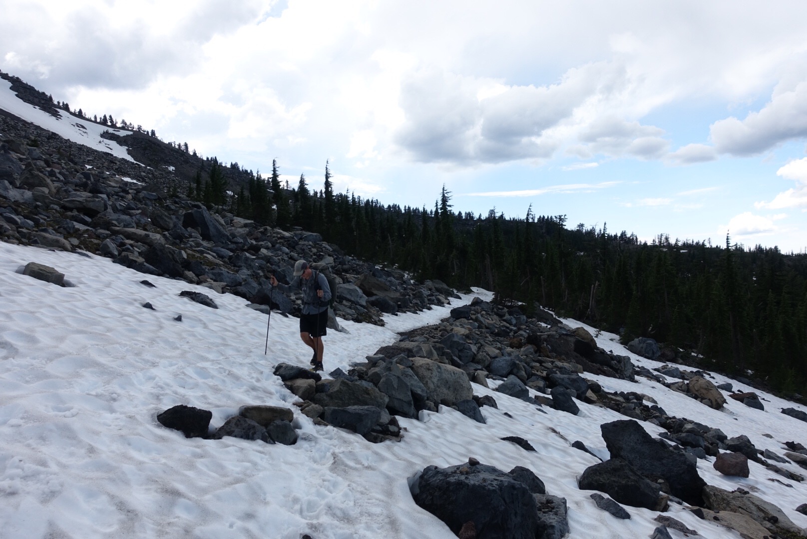
Traversing snow drifts while it’s raining is an interesting experience. Even more unique was seeing the way the snow pack seemed to steam — creating a mysterious mist coming up from the ground and obscuring the view ahead. Of course, to add to the excitement, we were hit by pea-sized bits of hail for several minutes as well.

Thielsen Creek runs under this snow-pack. I took this picture from the safety of the trees we hid under, otherwise I had my camera away while it rained.
Our water source, Thielsen Creek, was still completely covered by snow where it met with the trail. I followed the snow bank downhill a couple hundred yards until the water finally emerged from beneath the snow. The steam/fog coming off the snow was intense as the rain continued to pound down. Near the spot where the water came out there was a group of trees that provided excellent cover from the storm. It was practically dry underneath! We hunkered down there along with the Warrior Expedition guys for awhile while we tried to figure out what to do next.
At this point in the day we’d only hiked 21-miles and, despite the snow, we’d been hoping to make today our first 30-mile day. Add to that that I was really concerned about our food supply. My food bag was already feeling light and we had belatedly realized that we didn’t have a lunch for our day into Shelter Cove. Sound familiar? I wanted to put in the miles so that our fourth day out in this section would be as short as possible.
But it was raining. And cold.
I decided that I’d probably be warmest if we just got walking again. I had gotten a weather report on my inReach that suggested that a chance of rain would continue throughout the evening. Waiting out the storm might work, or it might not. We packed up our stuff, bundled back up in our rain jackets, and headed back to the trail.


The highest point in Oregon and Washington (on the PCT) is not very high.
We still hadn’t committed to hiking 30 miles today, so we decided to meet up at a campsite in another 5.5 miles. By the time we got there it had stopped raining. The views at the site were amazing, although staking our tent on the rocky outcrop would have been tough. It wasn’t yet 6pm though. We still had plenty of time to push further and the elevation profile for the upcoming few miles was tame. We could do this.
Awesome campsite views!
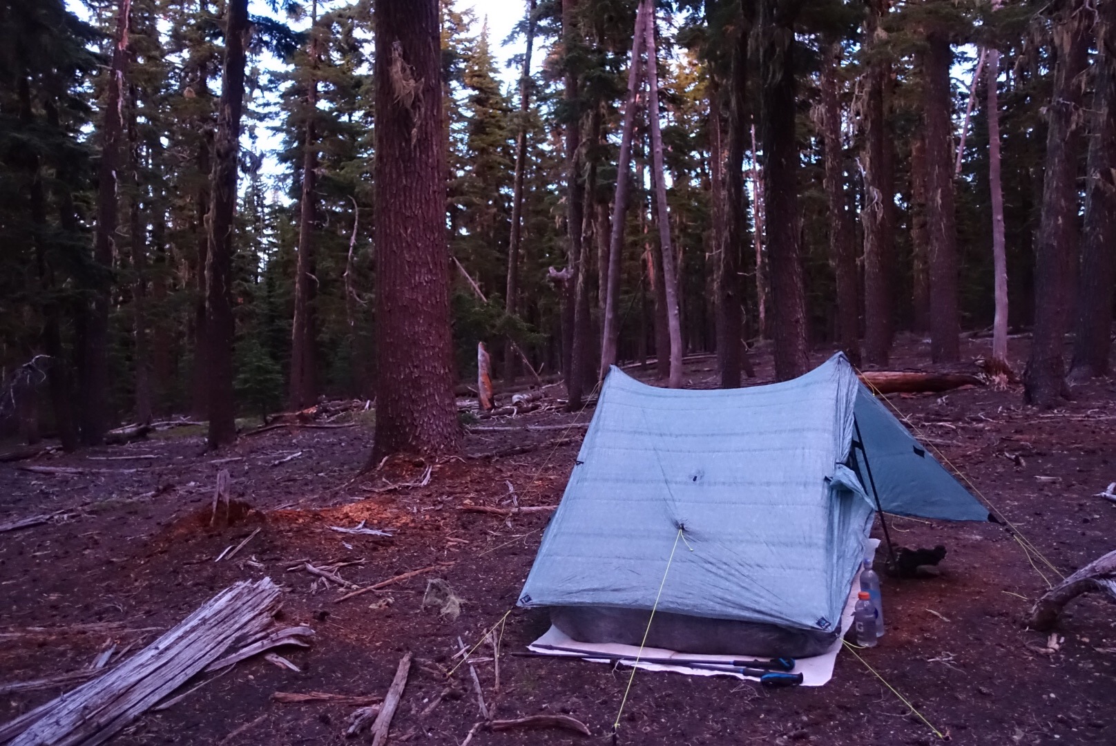
The next few miles were a bit of a blur. The section was heavily forested for the most part and pretty flat. I was still feeling pretty strong as I pushed on. Maybe I was being pushed on by the adrenaline of knowing I was about to hike my first 30-mile day? As we approached the 30-mile mark I was pleased to see that we were in a section of forest with a lot of flat, open ground surrounding the trail. I kept checking my Guthooks: 29.5 miles… 29.7 miles… 29.9 miles… and finally 30.0 miles.
As soon as we hit 30.0 miles I looked around and found a spot to camp. It’s like everything lined up perfectly for our first 30. The elevation profile was fairly tame most the day, the lack of water meant that there was limited incentive to stop during the day, and we didn’t have to worry too much that pushing to 30 would mean hiking much further to find a camp spot. I could have done without the rain though.
Surprisingly, I am not feeling much more tired than normal (although Michael disagrees). I’m sure that I’ll sleep well though (with the help of some ibuprofen)!
Current ailments:
Elizabeth: sore left thigh from bruise, right foot feeling much better.
Michael: sore left foot, tired.
