July 11, 2017
Total daily miles: 15.5 miles
Total PCT miles: 1205.7
Start: Etna (mile 1597.2)
End: mile 1612.6
Total elevation gain/loss: 2905.8/2411.1 ft
Sleeping in is glorious! I think I made it to almost 8am this morning before the sunlight hit my tent and it started to heat up quickly. I think that my body really needed that extra sleep!
We packed up quickly and then enjoyed a breakfast of fresh fruit and muffins that we’d picked up from the grocery store. A nice change from fig bars and pop tarts! The pavilion area at the city park really is an ideal spot to hang out and I have to admit that I was surprised how easy it was to get quiet time for myself while staying at the park.
We headed over to the library again this morning for some additional internet time. We both attempted (and failed) to get the Oregon map to download on Guthooks. I guess we’ll keep our fingers crossed that we can get it downloaded in Seiad Valley, otherwise we’ll have to hike the section of the trail leading into Ashland without the assistance of topo maps (we’ll just have the line of the trail to follow with no context).
As we were sitting outside the library, one of the PCT hikers that we ran into yesterday at Dotty’s pulled up. He’s off trail for a couple weeks dealing with injury. He told us that he’d be heading up to the trailhead in about 15 minutes and asked if we’d like a ride. Yes we do! The funny part was that just as he returned, a local pulled up and offered us a ride as well. I think it was the same guy as yesterday! Again, everyone in town was super hiker friendly.
On the way out of town we stopped to pick up Valley Girl and A-Game from the hostel. The smoke from the fire (called the Island Fire) was clearly visible from the trailhead. We finally hit the trail at about 11am. Not an ideal start time, but there was no way we were getting up early and rushing out of town!

View from the trailhead.
The trail ascended coming up from the road and it was hot! We only made it a couple miles before deciding that it was lunch time. I was already hungry! It turned out that our lunch spot was near the end of the incline and the rest of the day was much nicer to us.


We entered the Marble Mountains and quickly hit the 1600 mile marker (about 1200 for us). We had great (if hazy) views of the area surrounding us. There were a few people out, but not many. Apparently, Michael saw a bunch of back country fire fighters on trail, but they must have hit the trail after I passed because I didn’t see them. Valley Girl stooped to talk to them for a bit and I guess they were digging a fire stop line on the other side of the PCT. I’m glad we’re making it through this section before it’s potentially part of the fire zone!
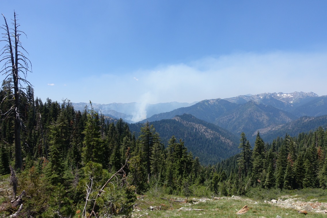

Looks close to me!
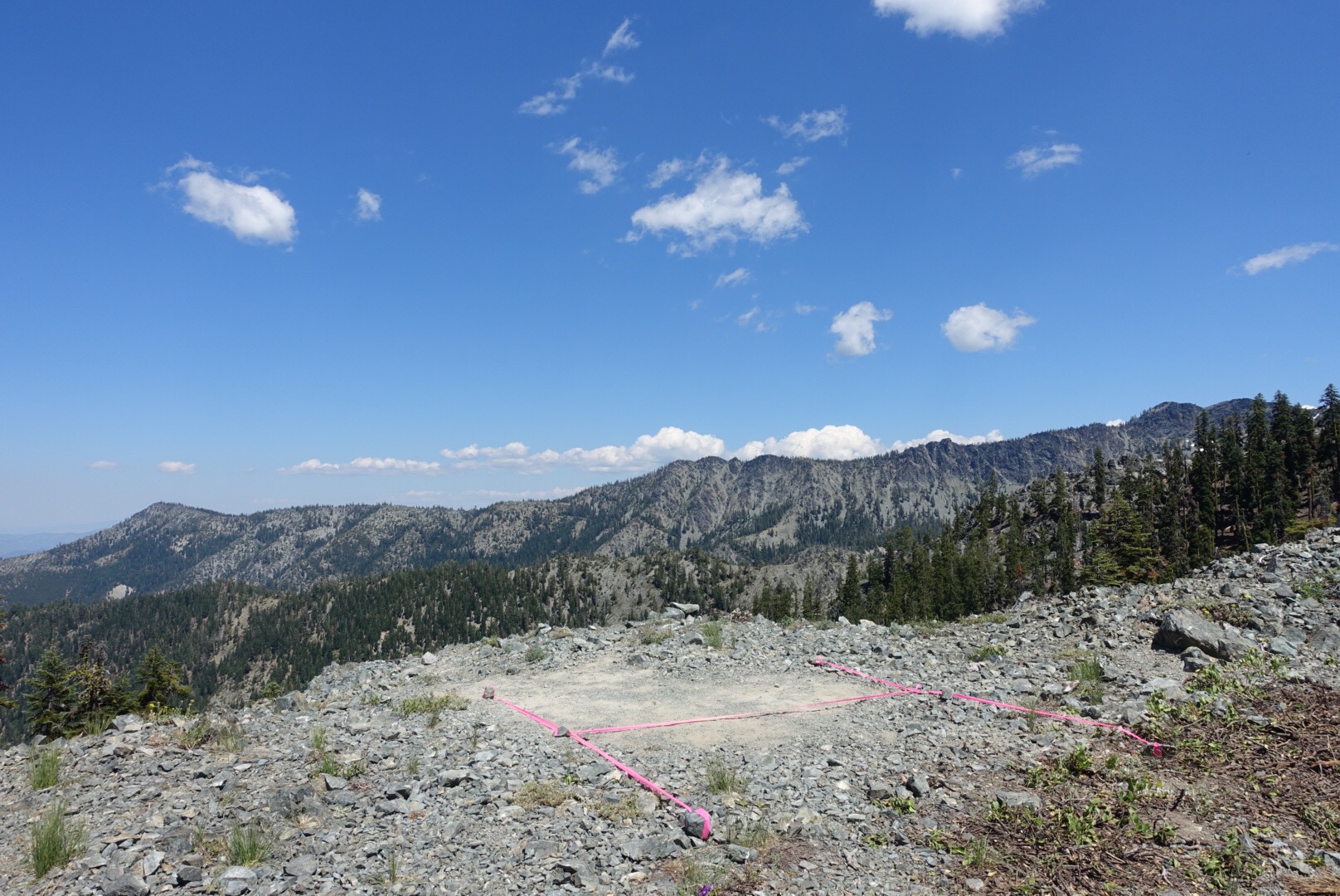
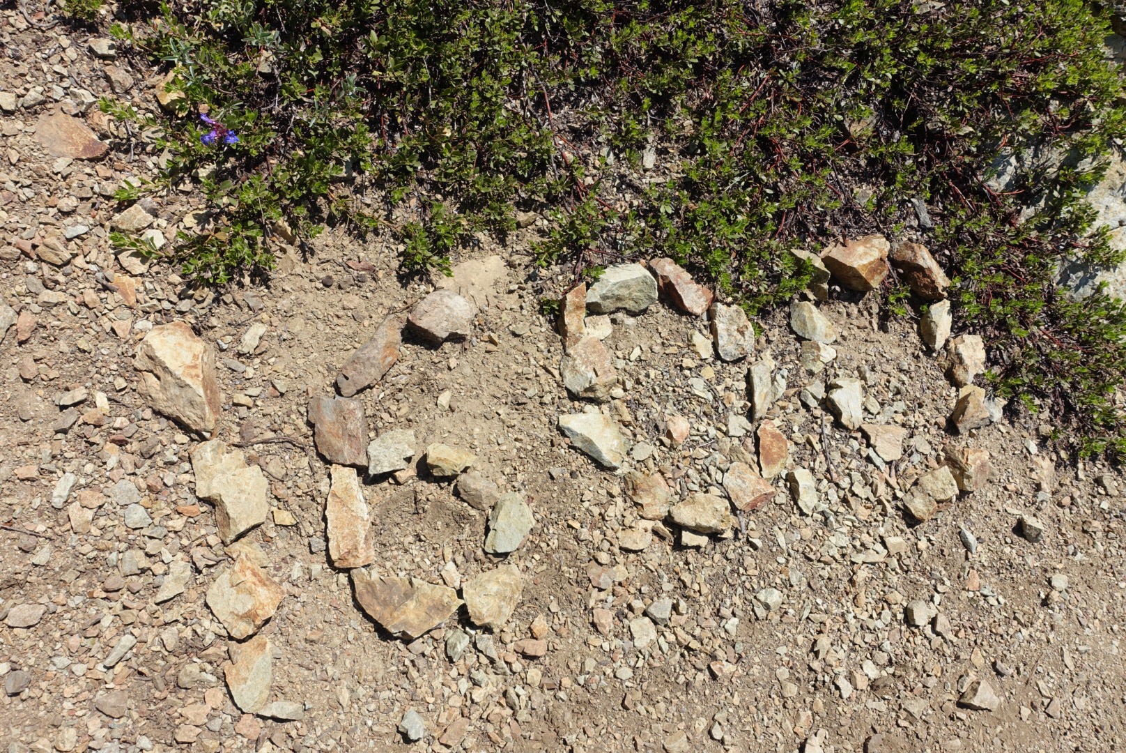
Temporary helicopter landing spot?
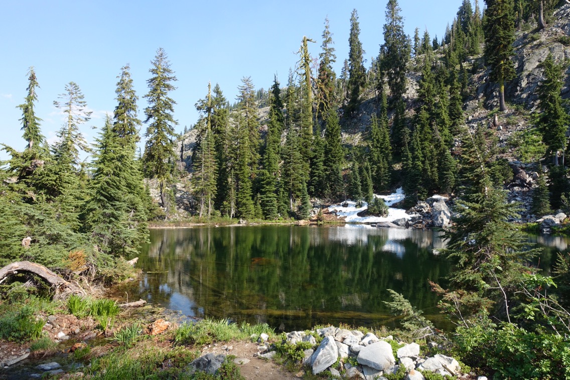
The rest of the afternoon was fairly uneventful until we reached the area around Fischer Lake. The lake itself was beautiful but the trail from there to our eventual campsite had basically transformed into a stream. It seemed like it took forever to hop from rock to rock and try to avoid big sections of shoe-sucking mud. A couple times it felt like I was walking next to a waterfall!


A waterfall… on trail!
We’re camping at a small pond tonight that’s just before a stretch of snow that could potentially be tricky. The sound of frogs here is almost deafening — and yet I haven’t spotted a single one! When we got to the pond only Jessica was here, but we’ve since been joined by Valley Girl, A-Game, and several others. Looks like we weren’t the only ones planning to tackle the snow first thing in the morning.
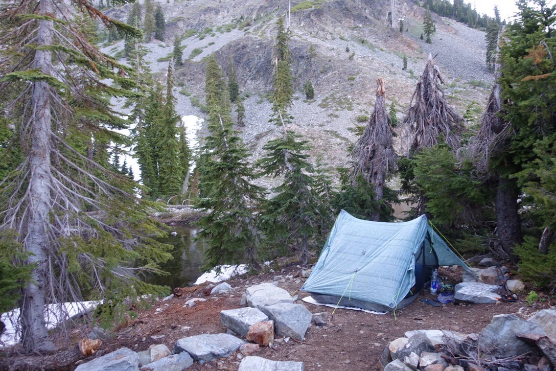
It’ll be earplugs for me tonight to fight off the sound of frogs. At least it’s a little chilly — should make it easier to sleep!
Current ailments:
Elizabeth: none.
Michael: sore feet.
