June 6, 2017
Total miles: 6.8 miles
Start: mile 768.9
End: mile 775.7
Total elevation gain/loss: 1559.1/1126.3 ft
The stats simply don’t convey what a difficult day today’s hiking was. I could pound out that distance in no time in the desert. Here though, that’s a different matter.
We slept in a bit (until 4:30!) because it was cold and we didn’t want to hit our first river crossing of the day too early. Also, we figured we were in for an easy day, so why push it? Silly us.

We ran into a group of hikers early on that asked if we wanted to join them for the river crossing coming up. Sure! We’d been hoping to join up with others for more difficult sections, so this seemed like a serendipitous moment. Unfortunately, the group hiked too fast for me in the snow (I feel so slow nowadays) and seemed to be taking a route that took us too high and away from the trail. I couldn’t stop to check though because that would mean falling further behind. I quickly realized that this was not a great fit for me.
We ended up descending the steep slope down toward the river separately from the group since they had stopped to put on crampons. We hit the river at a point further upstream from the trail and scoped it out a bit. The verdict was not good — the water was fast and looked deep and turbulent with snow on both sides.
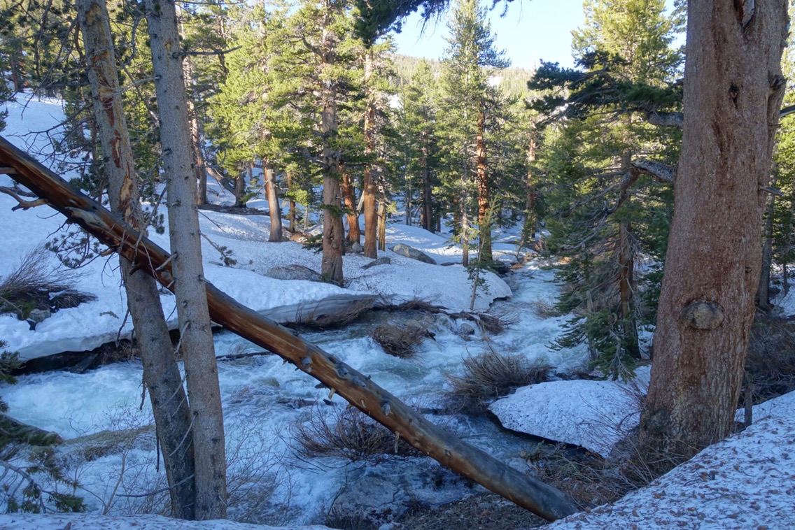
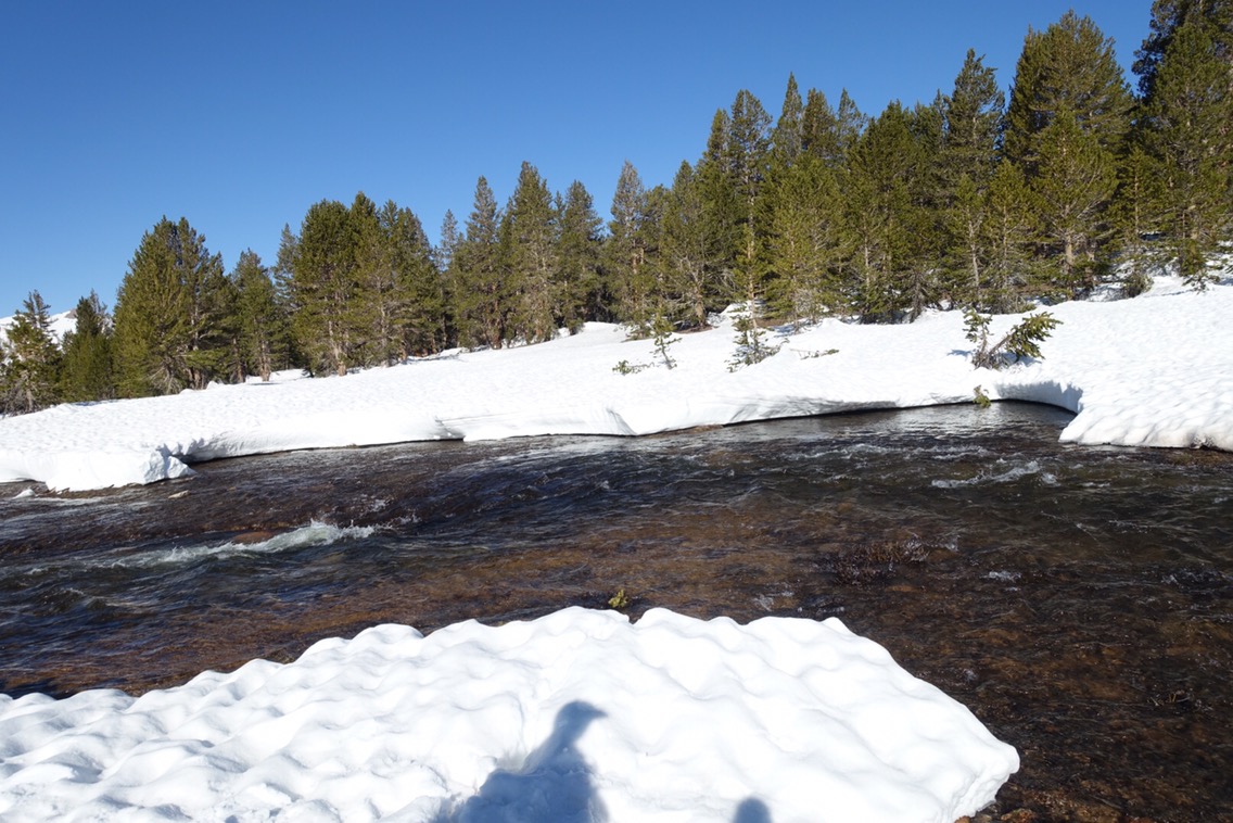
View of the river downstream from where we crossed.
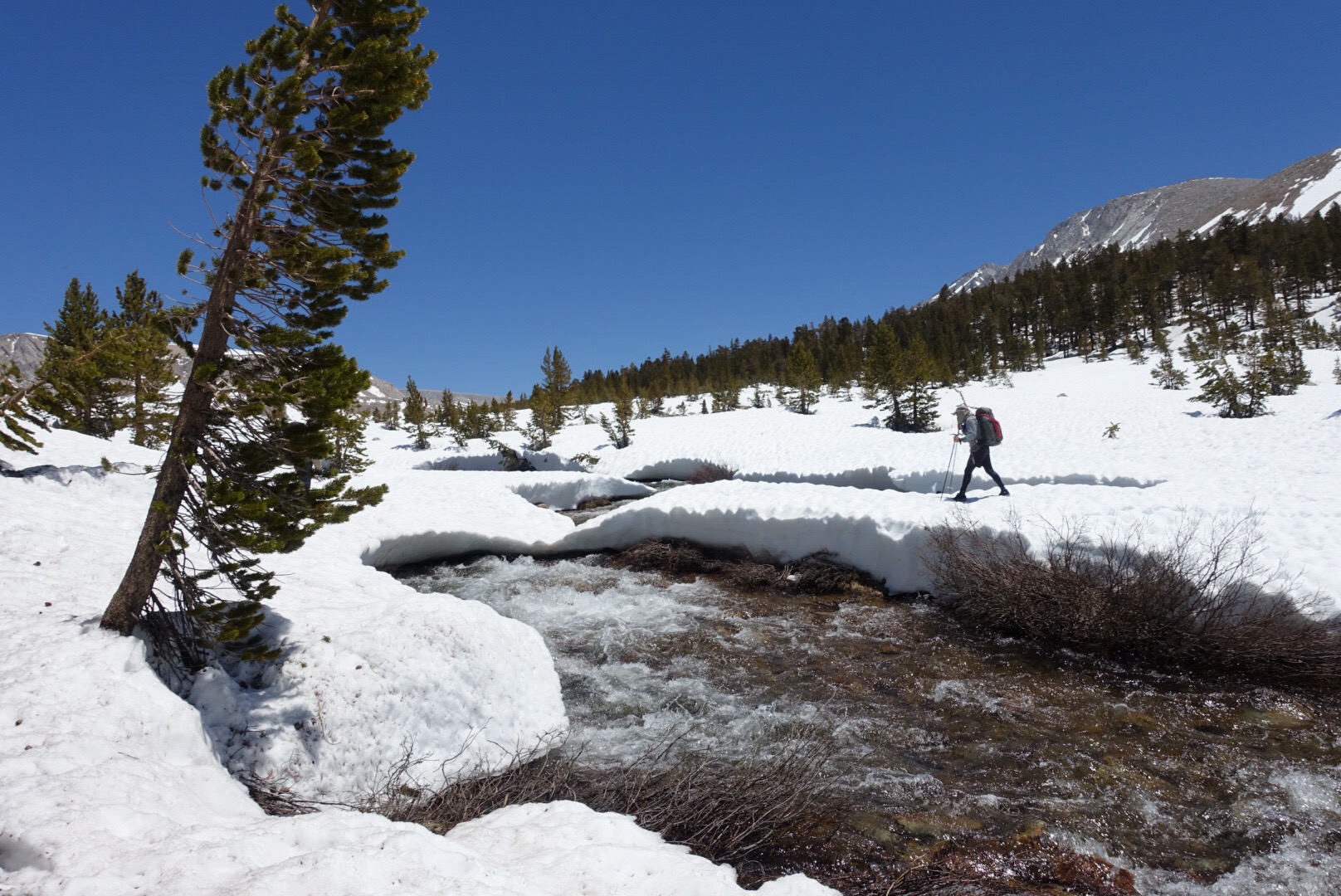
Back at the trail crossing, we found the group and another couple that had just arrived and prepared to cross. Electronics were bagged and leggings came off. The summer trail crossing point looked much better than the point upstream. While some from the group ran across, we eased slowly and carefully across. The water was fairly fast moving and came almost to my crotch, but I felt in control during the crossing. By the time I got to the other side I was freezing though! My legs had turned a shade of neon orange and we hundred in a field with direct sunlight to warm up a bit.
We decided to try to stick with the group for another mile to the next river crossing. We followed them down the trail, falling behind a bit to get out my electronics so I could photograph the downstream river. As we hiked down the mountain, Michael commented that he didn’t recognize the area that we were walking in, but we didn’t give it a second thought. Until the couple from the crossing came back up the trail.

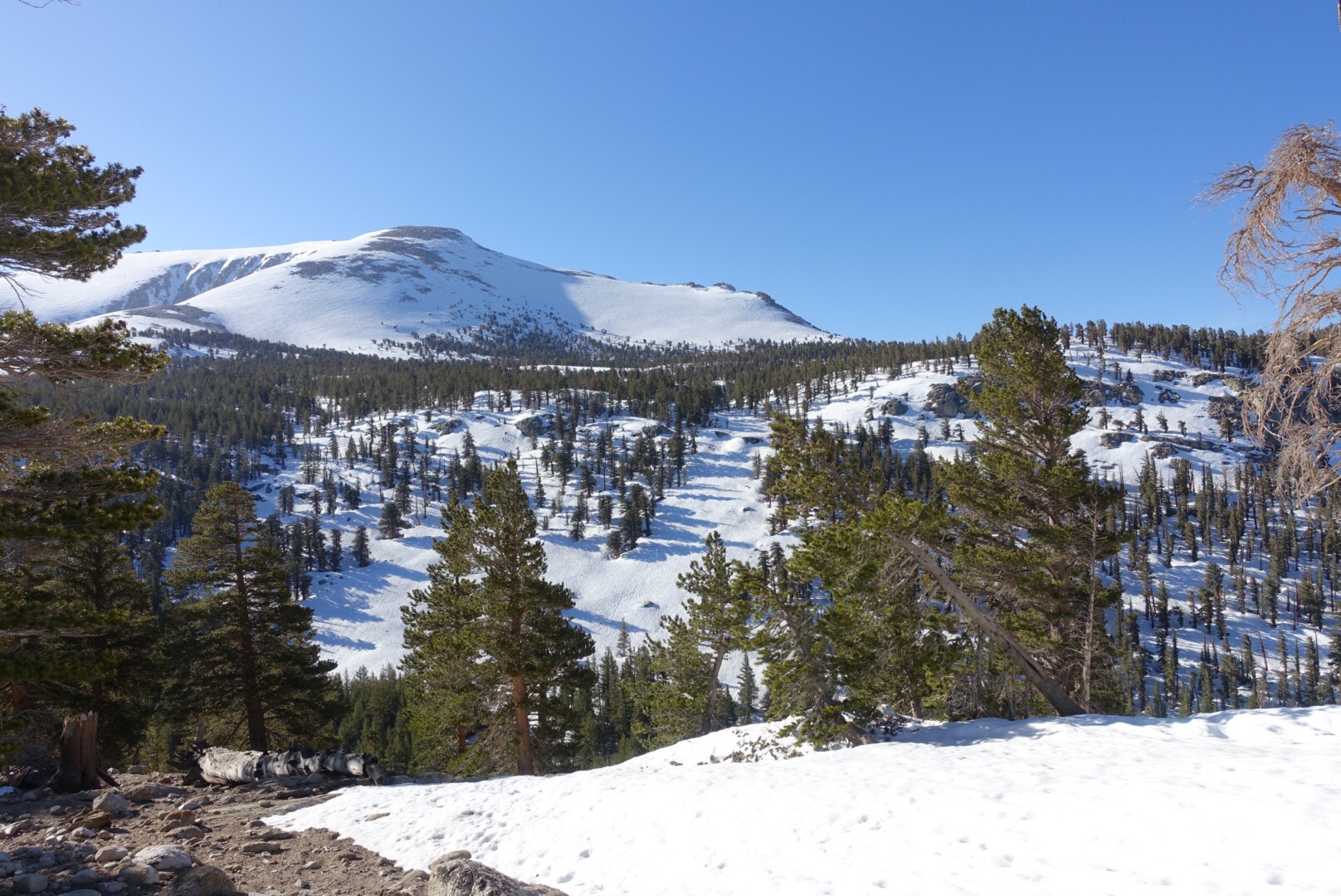
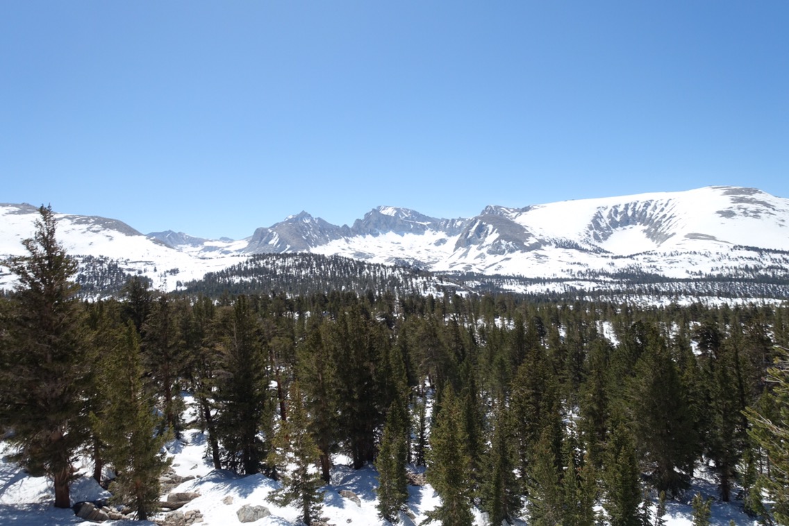
Unfamiliar views as we hiked down along these cliffs.
What’s wrong, we wondered. Well, turns out we weren’t in the PCT but rather a side trail. The group had gone bounding down the trail, probably happy to see dirt, without realizing it was the wrong trail. No wonder it didn’t look familiar! So back up the he trail we went. I’d say we probably ended up a half mile off trail.
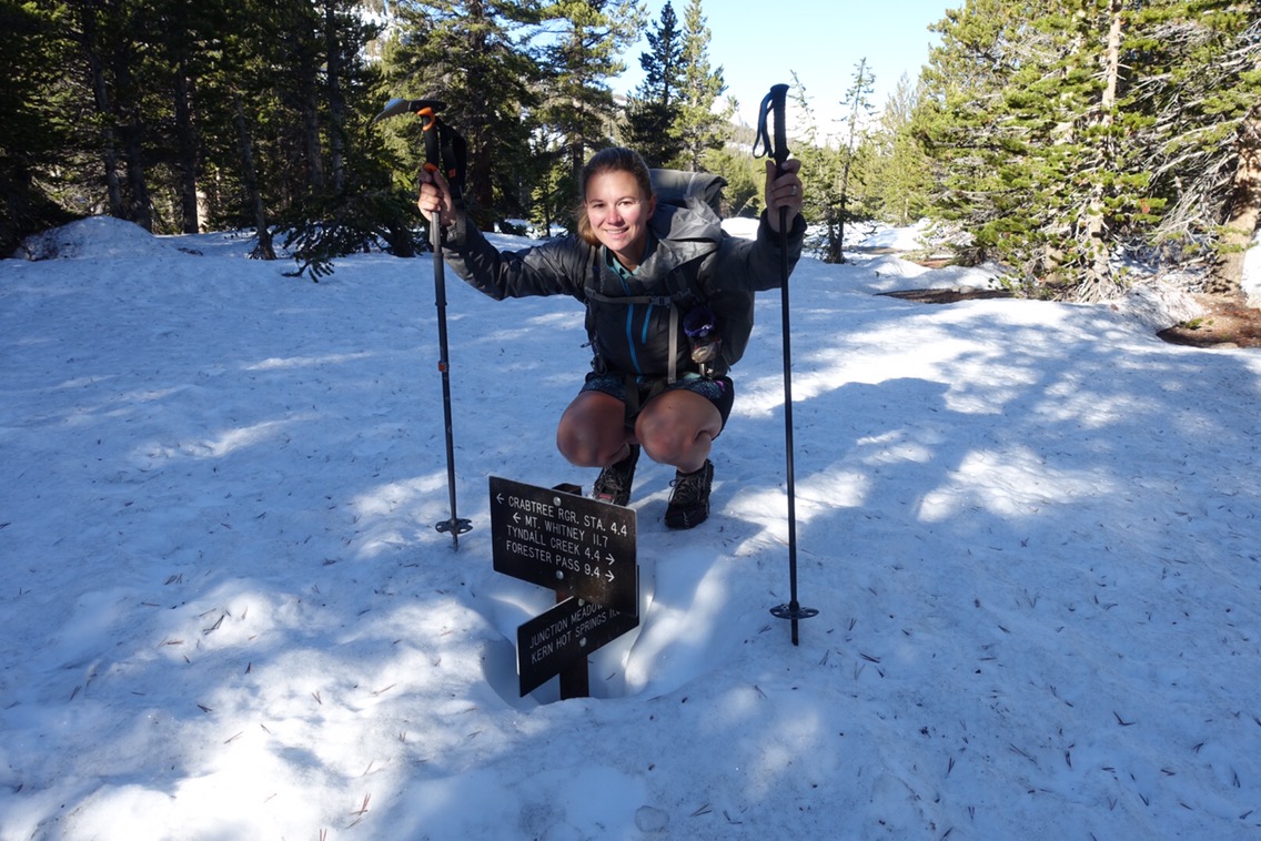
Back at the trail crossing!

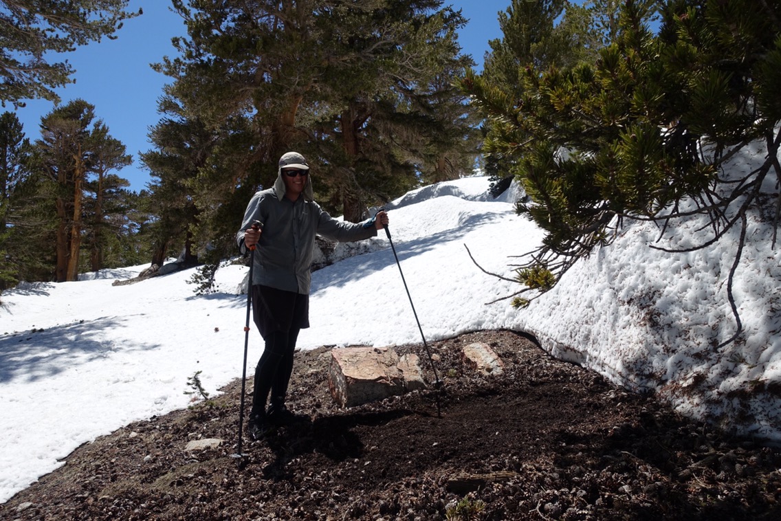
For a fun throwback, here I am at the same junction in 2015!
After a short climb (now in the PCT), we hit Wallace Creek. The snow bridge at the normal crossing appeared to be out and so we joined the couple (Sam and Tam from Switzerland) in scouting out other options upstream. This ended up being fairly tough because the banks on both sides were snow covered and the snow near the edge overhung the river and was therefore not stable. We ended up walking about a half mile upstream before we came to a spot with good entrance and exit points.
Scoping out our crossing point. The water was shallow and calm near both banks, making getting in and out easier.
After consulting on the best way to cross, Sam gave it a go. The water in the middle of the creek was strong and fairly deep, seeming to crash up near his waist. Tam and I consulted on another possible path and sent Michael out next. He seemed to do well, but he’s also 13 inches taller than me. Now it was my turn. I tried to take the same line as Michael, but the water was high. Like belly button high. I honestly thought that I might be knocked over, but I managed to stay on my feet. It was honestly sort of scary. Poor Tam went last and did actually fall right near the bank, but luckily she fell forward and made a little quick recovery. We’d all made it!

We all found a dry piece of ground nearby and stripped off our wet clothing to warm up in the sun. Nothing like an intense crossing to make stripping down to your underwear feel like the natural thing to do with people you just met! My poor toes took forever to warm up, even when I pulled out my wool sleep socks.

We ended up continuing on for the next three miles or so with Sam and Tam until we reached Tyndall Creek. Luckily, Sam was a great navigator and it was nice to be able to just follow behind for awhile!
When we got to Tyndall Creek, we saw that the summer crossing point was calmer than the surrounding areas, but still looked fast and deep. We decided to scope out the area upstream before committing to a crossing point. We saw the group from this morning on the other side of the bank (they must have crossed Wallace Creek much further downstream), and they urged us to use the summer crossing. We continued on.

The water downstream from the summer crossings did not look fun if you were to fall!
Not much further upstream we came across an intact snow bridge over the river. It wasn’t great, but it seemed like it was still okay and there were recent tracks across. We decided to give it a go, this time in reverse size order. I scoped out an emergency exit point in case the bridge collapsed and off I went… it held. From the other side the bridge actually looked somewhat better and I encouraged the others across. We all made it safely to shore without getting wet. That said, I wouldn’t expect the bridge to last many more days and I would have preferred to cross it in the early morning instead of around noon.
Michael starting his crossing of the snow bridge.
We stopped for lunch along the shore and then decided to see if we could find a camping spot further uphill toward Forrester Pass. The snow was getting difficult to walk on and there were not many flat, open spaces. But we found a couple spots near to one another in the far side of the last grove of trees before the pass. Coincidentally, this is the same area that Michael and I camped in on the JMT!
Michael started prepping a tent site before Sam found a couple that were close together (and more level!).
 Our plan for tomorrow is to start hiking at 4am so that we hit the pass (and especially the ice chute) early. It’s less than 4 miles to the top and so conditions should be good. We saw a couple guys that passed our tent site at around 5pm that were planning to go over the pass today, so if they can make it so can we! It looks like we’ve found ourselves a little Sierra group after all!
Current ailments:
Elizabeth: my feet look sad from being wet most the day, but they feel fine.
Michael: sore shoulders.

Interesting comparison photos.
LikeLiked by 1 person