Day 12: San Jacinto Kicks Our Butt

April 29, 2017

Total miles: 14.3 miles (2.7 mile roadwalk, 2.6 mile Devil’s Slide trail, 3.2 miles PCT, 5.8 miles up and down San Jacinto)

Start: Idyllwild

End: mile 185.7

Total elevation gain/loss: 5717.6/2066.9ft

Today kicked my butt. The mileage may not be as high as some of our other days, but it was a tough one.

We left the comfort of our awesome cabin by 6:30. First up was the road walk to get us to the Humber Park Trailhead. With my pack heavy with 5.5 days of food and microspikes, I quickly dumped out one of my bottles of water. The guys at the outfitters said there was a faucet at the trailhead, so why carry the extra 2 pounds?

DSC02030

We saw a couple yeti crossings.

DSC02031

Only one hiker crossing though.

Continue reading

Day 10: Walking the Mountain Fire Alternate 

April 27, 2017

Total miles: 16.5 miles (6.9 miles on PCT, 9.6 miles on alternate)

Start: mile 159.7

End: Hurley Creek Park (on alternate)

Total elevation gain/loss: 1635.5/3532.8ft

The wind roared last night, but our tent spot ended up being almost perfectly protected. I’ll take a win where I can get one. We were up at our typical 5:30am this morning and ready to finish out the open section of the PCT and begin hiking the alternate.  


Continue reading

Day 9: PCT Brunch’n

April 26, 2017

Total miles: 14.3 miles (extra 1+ mile to Paradise Valley Cafe and 0.60 miles to spring)

Start: Walden water cache (mile 145.4)

End: mile 159.7

Total elevation gain/loss: 3054.1/1168.6ft

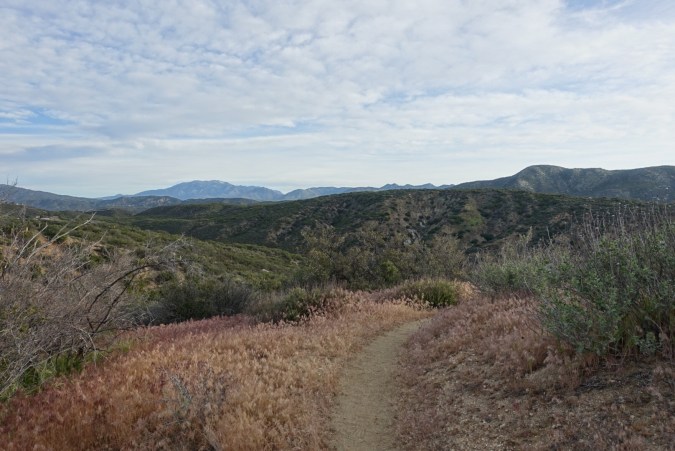
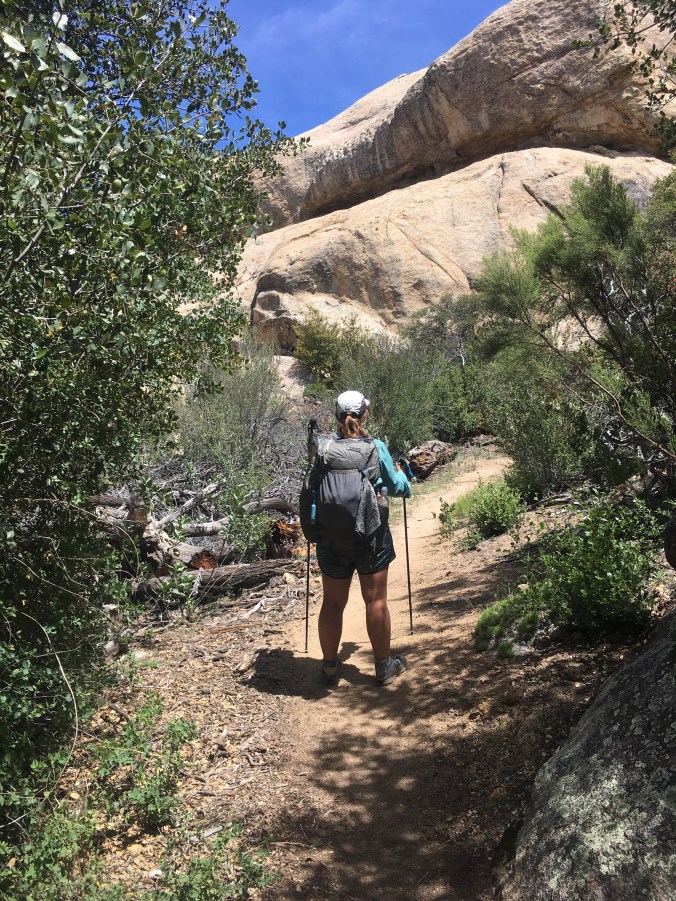
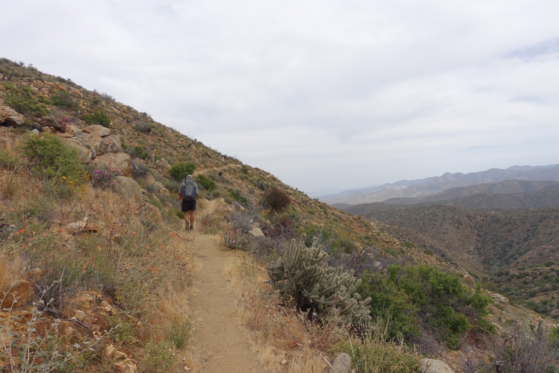
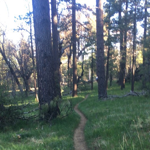
We were up bright and early with thoughts of a Paradise Valley Cafe breakfast filling our heads. Despite having 6+ miles to walk, I forewent my morning bars to make sure that I wouldn’t spoil my appetite. The miles were pretty easy and we were treated to another lovely morning.

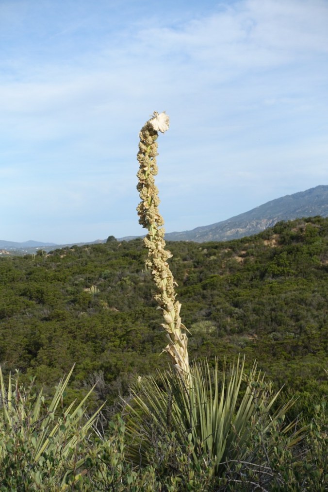
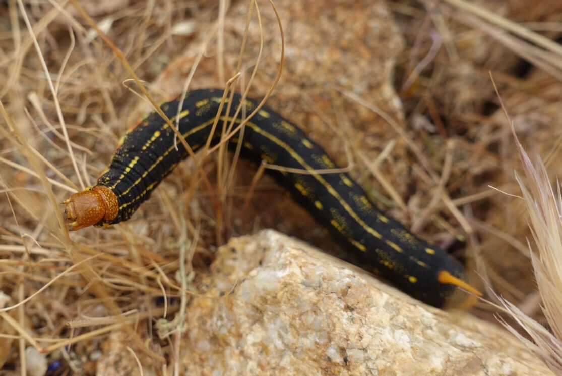
Is this a yucca plant? It looks like a yucca fell in love with a cauliflower.


When we hit the road we attempted to hitch for a few minutes before giving up. It was only a mile, so we figured it would be faster to just walk.  

Along the way, I found someone’s inReach device (emergency beacon/gps) along the side of the road. I bet they’ll be missing that!


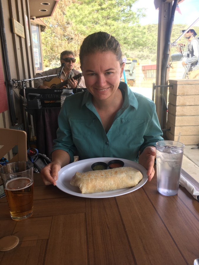
Paradise Valley Cafe has a great setup for hikers. Lots of shaded outdoor seating, big portions, and breakfast beers! I would have loved to try one of their burgers (the stuff of PCT legends), but they weren’t serving them for a couple more hours. A breakfast burrito it was!


I even managed to contact the owner of the inReach and sent the device ahead with someone going straight to Idyllwild so that it could be reconnected with him.

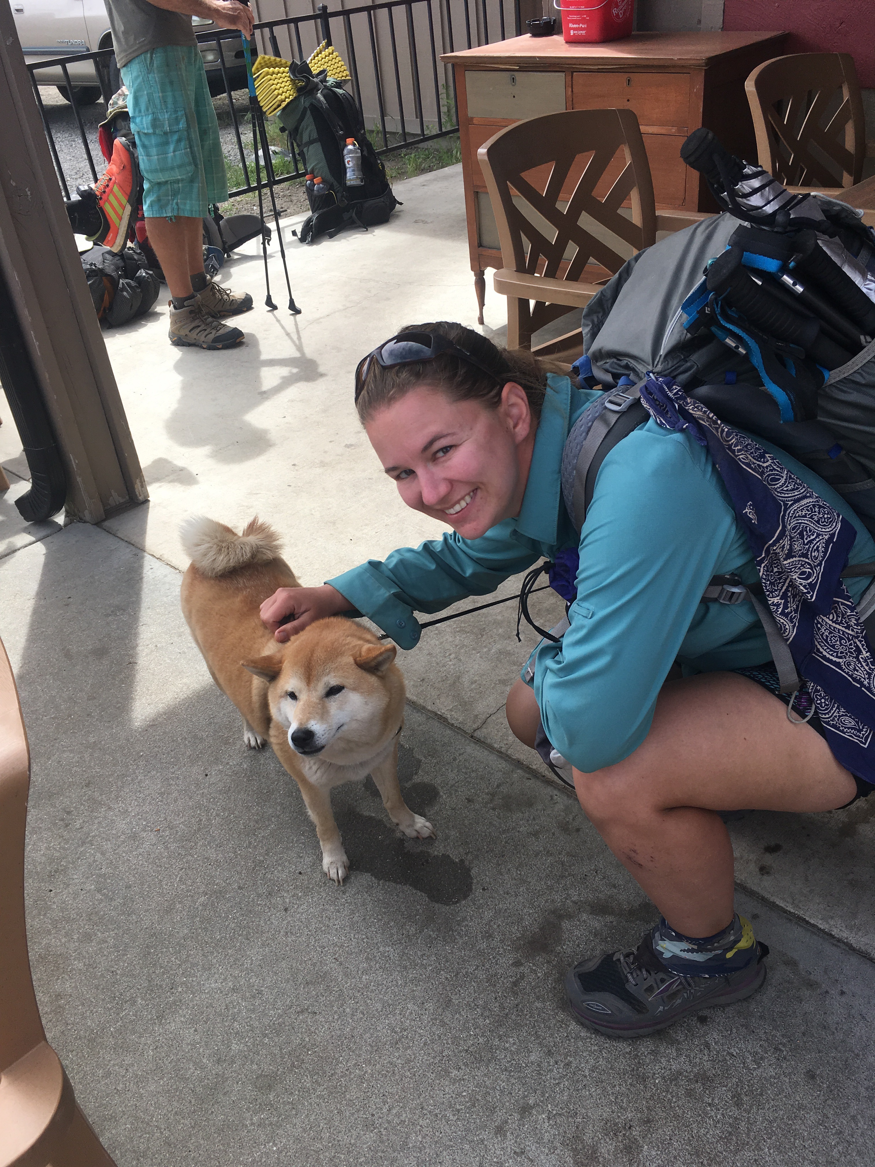
This is Cora. She is my new favorite PCT hiker. Also the only hiker to have licked my leg so far…


The big topic of conversation at the Cafe was what people are planning on doing about the Mountain Fire closure. The Mountain Fire occurred in 2013, but caused so much damage that there is still an 11 mile section of the PCT that is closed. The PCTA hasn’t issued an “official” reroute, but there are a couple reroute options. What I honestly don’t understand is why people are skipping the 15 miles of open PCT after Paradise Valley Cafe to either hitch or road-walk into Idyllwild. I get that someone might not want to do the whole detour (which includes a bit of road walking), but why skip open PCT? I aim to have a continuous set of footsteps from Mexico to Canada and to walk all open sections of the PCT, so this is a no-brainer for me: we’re walking the open trail section and the reroute (Guthooks version). Others apparently disagree and it looks like we’ll see far fewer people over the next couple of days.

Much to our surprise, we were able to catch a hitch back to the trailhead! I know it may seem contradictory with my prior rant, but I’m more than willing to avoid non-PCT miles that aren’t necessary to connect my footsteps.


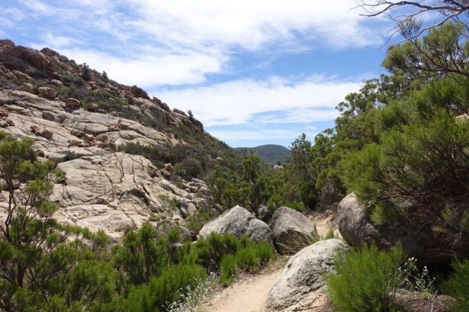
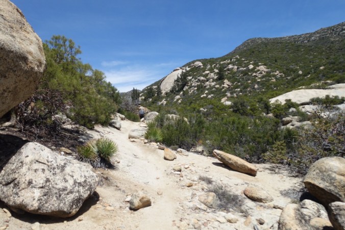
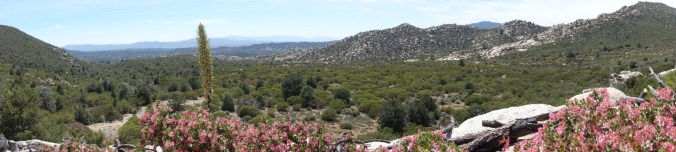
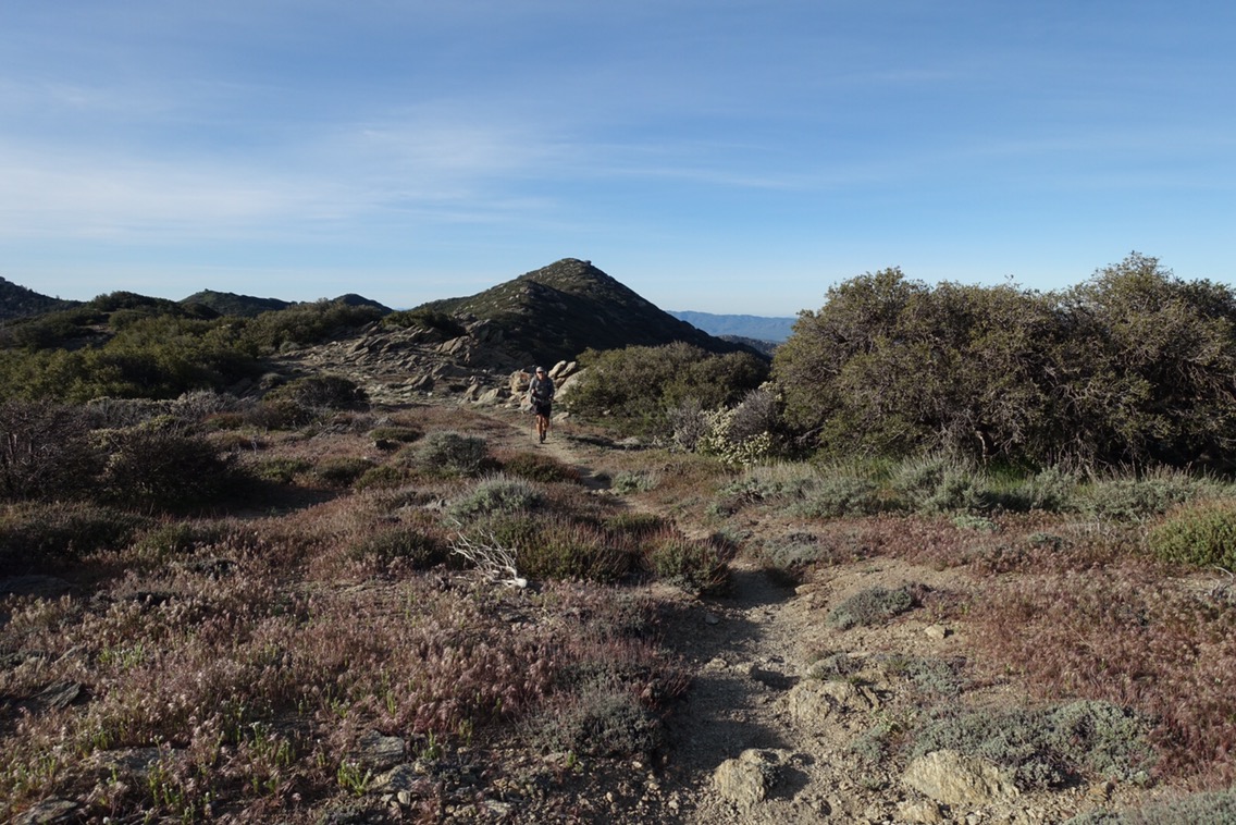
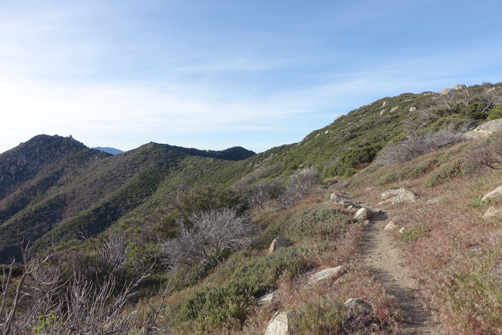
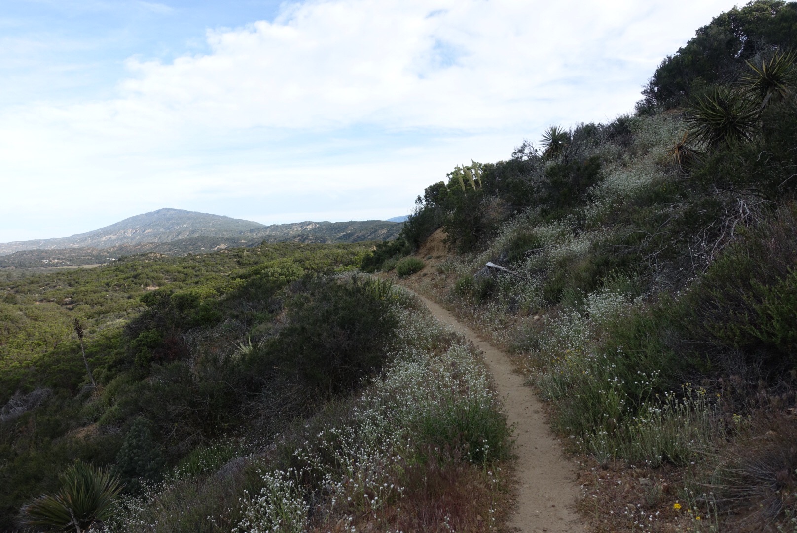
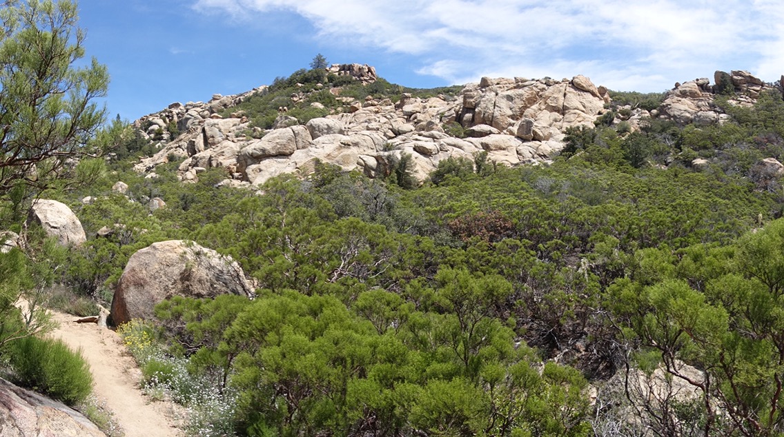
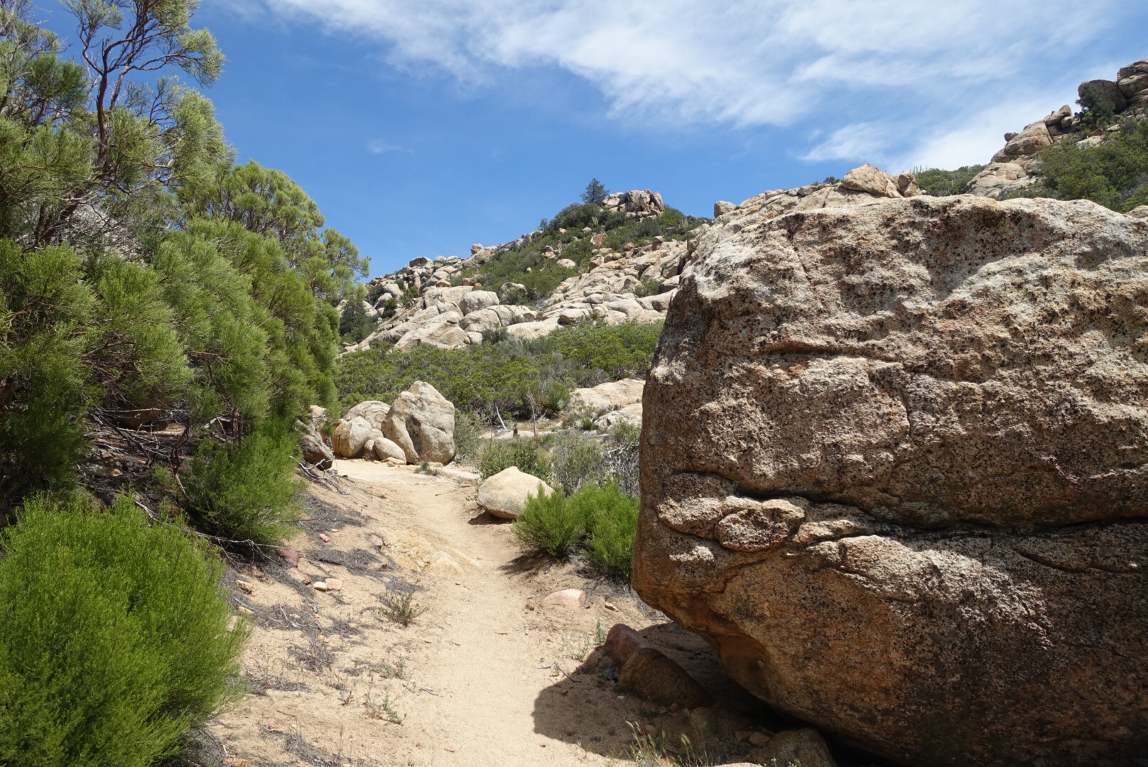
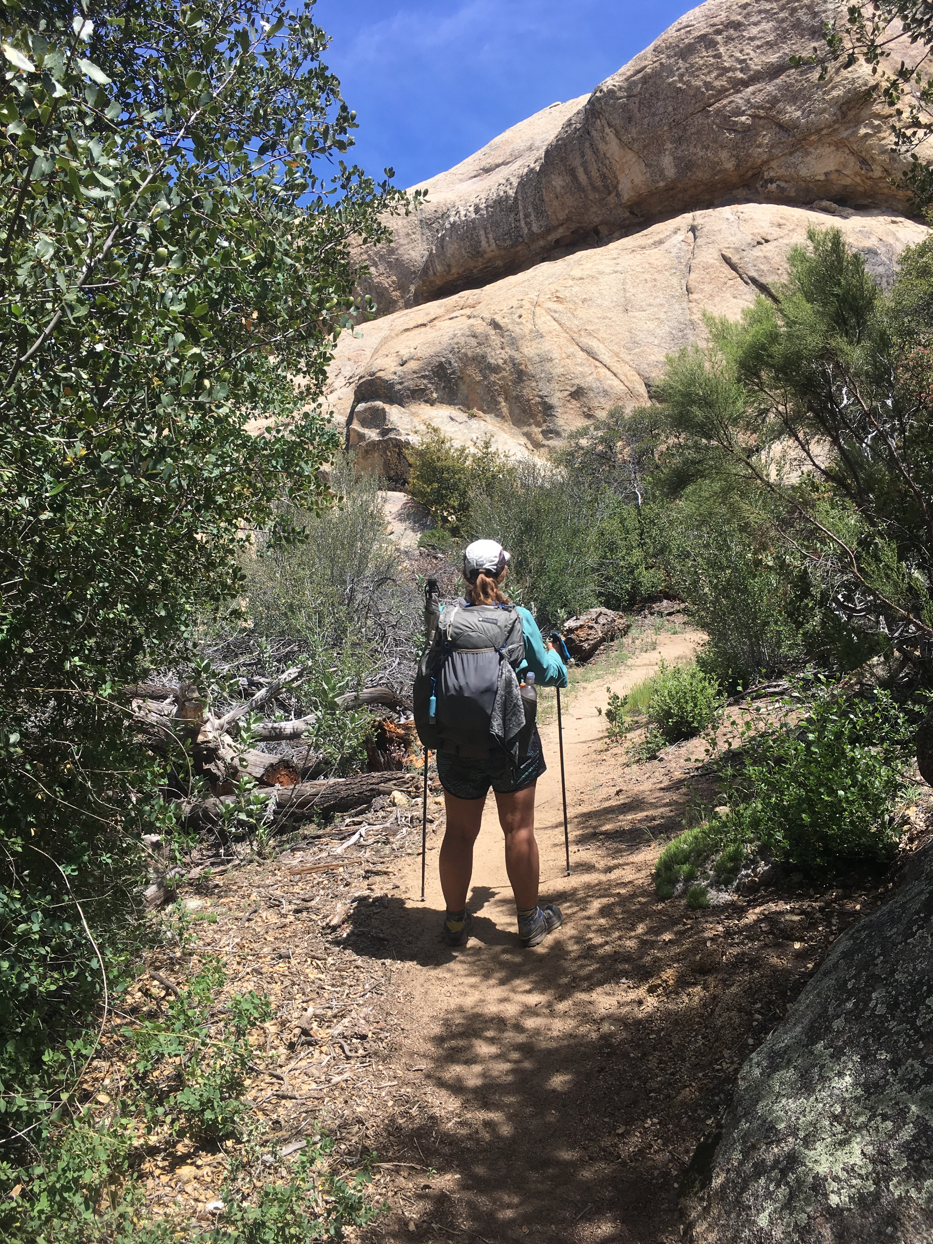
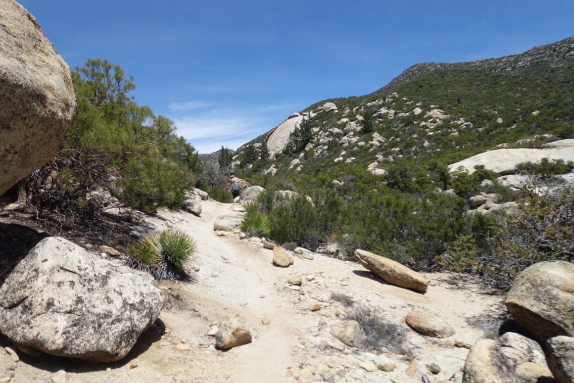
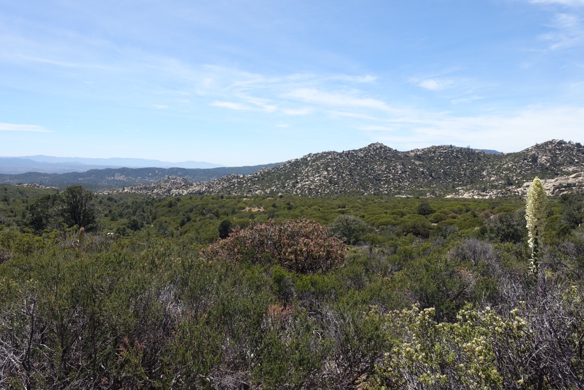
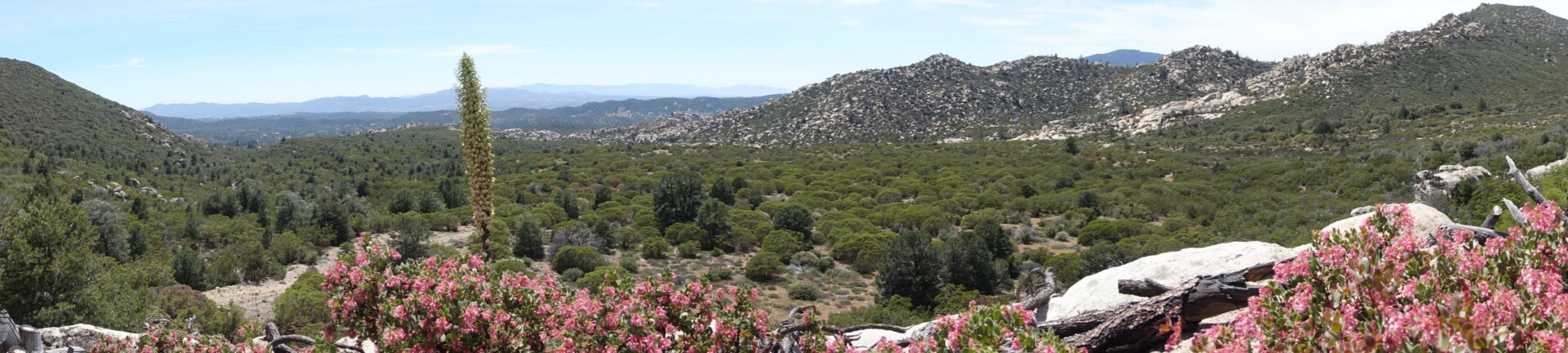
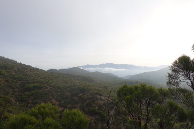
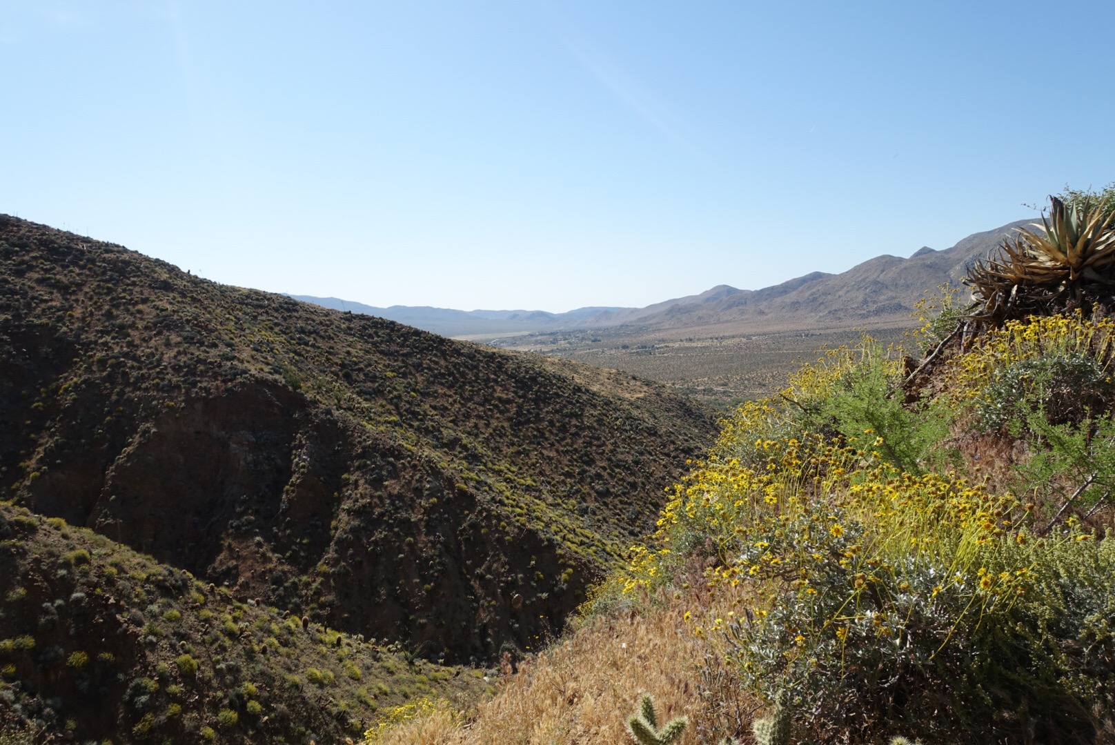
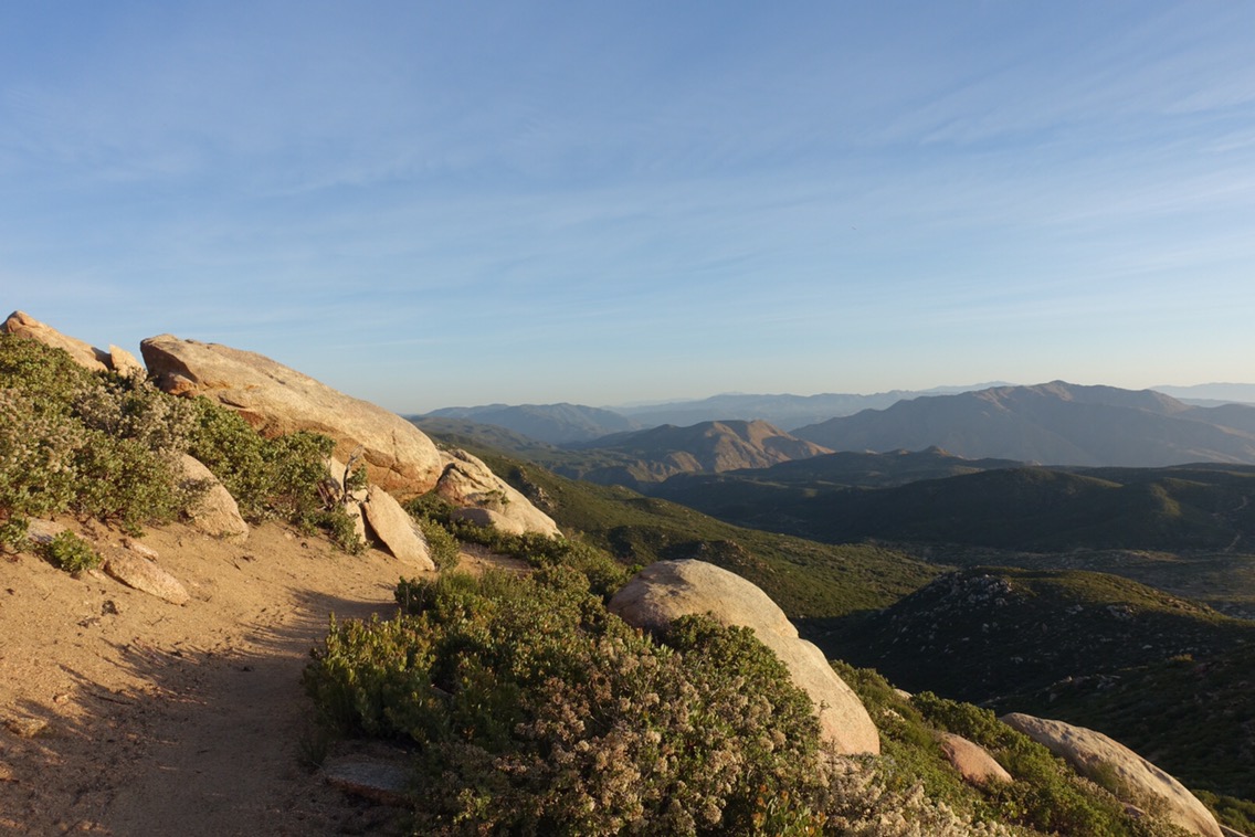
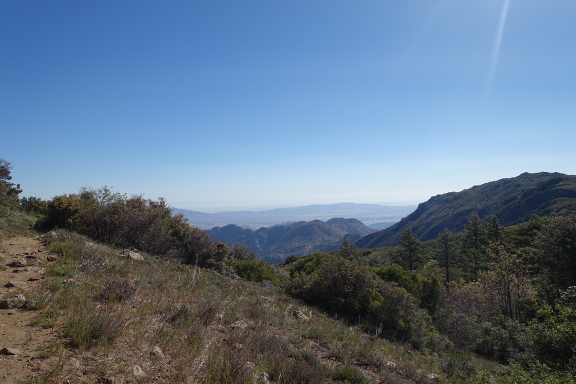
The next few miles (which most people are seeming to skip this year) were amazing. We walked through huge boulder fields and were treated to expansive views. It felt like Mother Nature was trying to reward us ;). 


We ran into the two Frenchmen who we haven’t seen since Julian. Someone else is walking this section too! Of course, it couldn’t all be easy sailing through this section and most of the water in this section is off trail. 

The only on trail water we saw this afternoon. A stagnant pool (with reports that it had been stagnant for weeks). Yum!


We climbed down a steep section of trail (losing all of the altitude we’d just worked so hard to gain) to get water from a piped spring. Interestingly, there was a video camera in one of the nearby logs with a sigh saying that it was trying to record foxes and raccoons. Sadly for the researchers, I expect that much of their footage is of dirty PCT hikers filling up on water. On the bright side, the water didn’t taste like sulphur (as our water report indicated it might)!


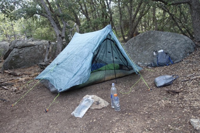
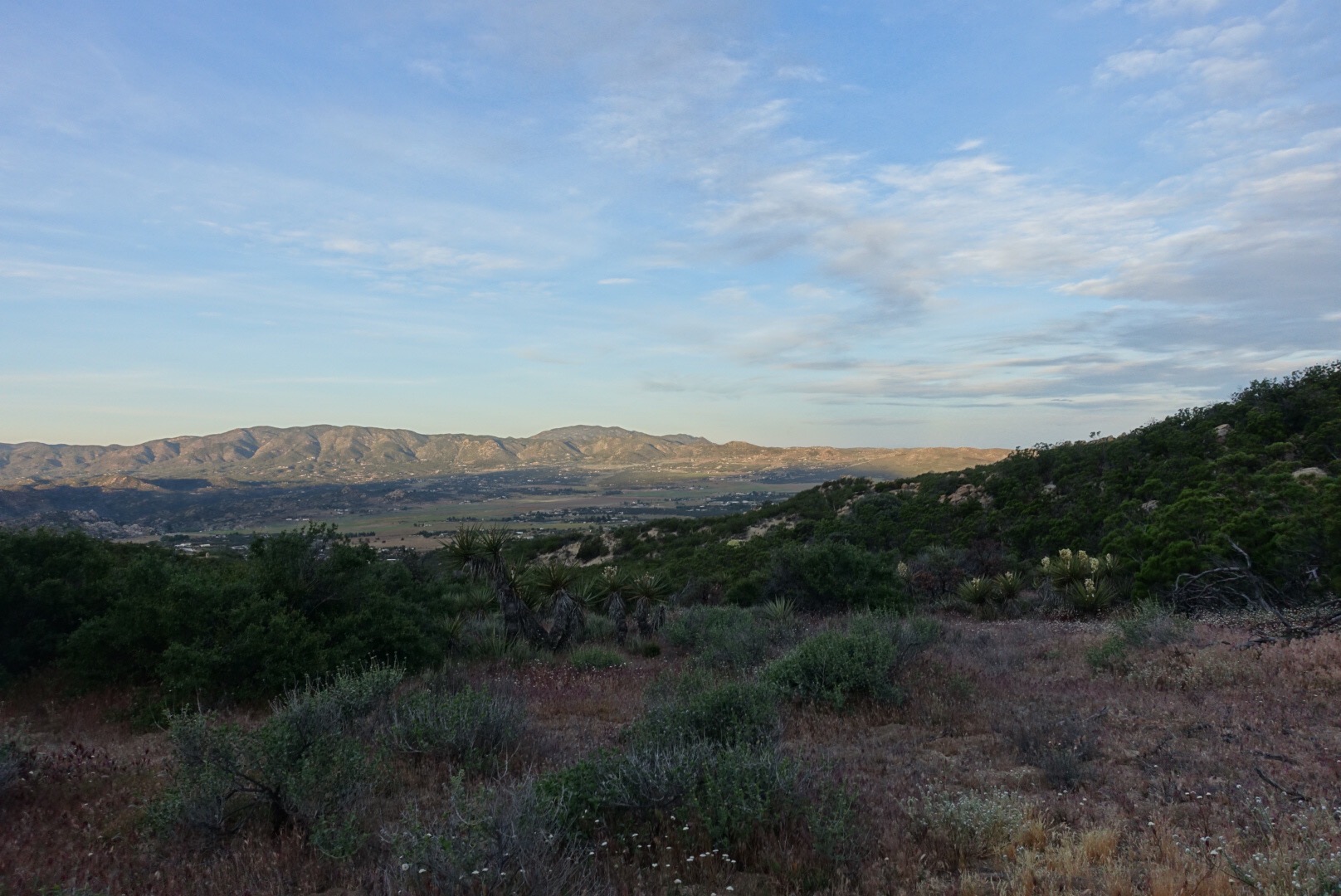
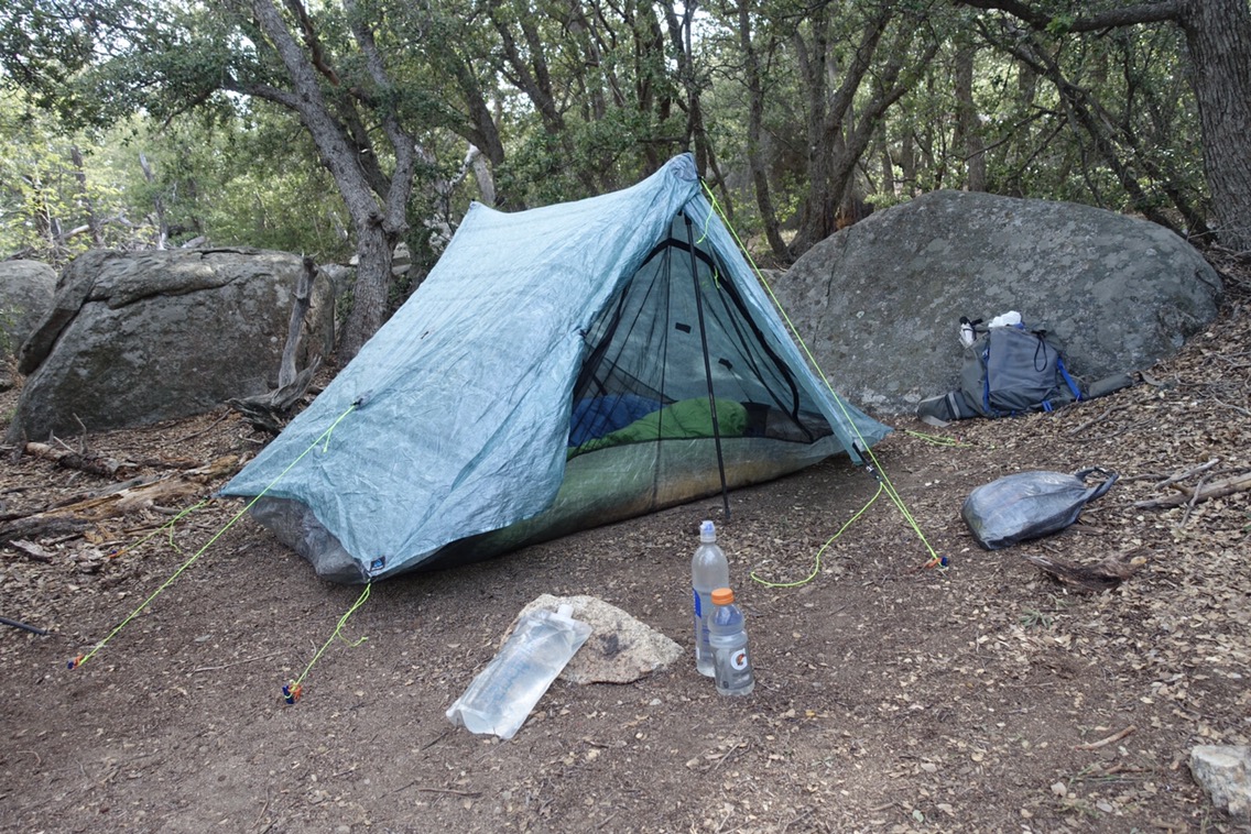
We stopped hiking early today. This has two motivations. First, the wind today was strong and constant and we were lucky enough to find what appears to be a sheltered spot. Second, we pre-booked a hotel room in Idyllwild for Friday night and at our current pace we’re set to arrive Thursday (we booked a couple weeks ago, so we had no idea). There’s no point getting to Idyllwild early, so a couple shorter days are in order. Our bodies will thank us I’m sure.

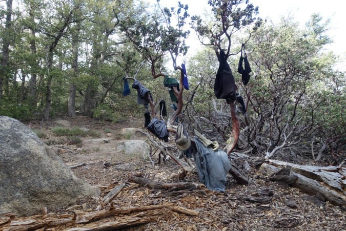
The laundry drying tree…


Our early stop gave us plenty of time to enjoy dinner (we skipped lunch because we were still so full) before it got dark. It’s amazing how cold it’s been getting as soon as the sun goes down!

Current ailments:

Elizabeth: a couple lingering blisters; inner thigh chafing

Michael: 1 old blister; misc. muscle tightness

Day 8: Desert Cruising

April 25, 2017

Total miles: 18.5 miles

Start: Mike’s Place (mile 126.9)

End: Walden water cache (mile 145.4)

Total elevation gain/loss: 2408.8/3105ft

We woke up this morning to find that it still felt like we were in the middle of a storm. Fog wrapped around Mike’s Place and the wind continued to howl. The edges of the deck were wet with precipitation. I knew that staying in my warm sleeping bag any longer wasn’t going to change the fact that it was going to be cold as soon as I emerged.

While there was talk of a warm breakfast, we aren’t really that hungry yet and wanted to get hiking. Unfortunately, my plan to cover the bottom of the sleeping bags in our trash compactor bags (which we use to line our packs) backfired. I thought that they would keep our sleeping bags dry from the thick fog, but instead they simply created their own condensation and the bottom of our bags were wet. We packed up the wet bags with the hope that we could dry them out later on the day.

It finally cleared up as we hiked above the clouds.

Our first hour or so of walking continued to be cold and blustery.  It wasn’t until we dropped a bit in elevation that we got some sunlight (but still lots of wind).  Most of the morning we found ourselves following a single set of footprints and only seeing a single hiker going in the opposite direction. We finally met the hiker when we had to go approximately 1/3 mile off trail in order to get to a water source.  We saw the footprints heading downhill, but not coming back up.  I think we were more excited to meet the guy filtering his water than he was to see us (especially when we demanded to see the bottom of his shoes), but he didn’t bolt immediately so we must not have been that weird…


Today’s walk was very much defined by water sources.  We filled up from the water tank at Mike’s Place (~mile 127) at the start of the day, then walked off trail to find water at mile 137 (Tule Spring & Fire Tank).  With our early start, the miles seemed to go by relatively quickly.  My glute was even cooperating today!  We twisted our way through the hills, with scenery very similar to yesterday’s.  The wind kept the day feeling cool.  So much so that we cut our lunchtime siesta short because we were actually cold!  How things change over a couple days.

Yellow blooms!


At mile 145, we came upon Walden in the desert.  No, not the pond in Massachusetts, but an amazing water cache along the PCT.  In addition to a large tank of water hidden behind a grouping of trees, there were two picnic benches (luxury!), a small bookshelf with free books, and a couple life-size cardboard cutout models of David Thoreau and Walt Whitman.  Apparently the water cache is there every year, but this year there is a literary theme to celebrate the bicentennial of the publication of Thoreau’s Walden.


Even though it wasn’t yet 4pm, we opted to stop for the night at Walden.  It doesn’t hurt that there are picnic tables and a water tank here, but our primary motivation to stay is that we want to stop at the Paradise Valley Cafe tomorrow morning for breakfast.  It’s about six miles down trail and doesn’t open until 8am, so there isn’t much of a payoff to walk further today.  Of course, we weren’t the only ones with the same thought, so it looks like there will be a full house at Walden tonight!


Although we’ve been on trail for a full 8 days now, today was our first day where we didn’t walk through a town (or campground with toilets and running water).  It’s made for a very different experience from our prior backpacking trips, but has definitely helped to ease our transition on the trail (and keep our socks cleaner).

Current ailments:

Elizabeth: Inner thigh chafing!; continued maintenance of old blisters

Michael: 1 (old) blister

Day 7: Up Into The Clouds

April 24, 2017

Total miles: 17.4 miles

Start: Warner Springs Resource Center (mile 109.5)

End: Mike’s Place (mile 126.9)

Total elevation gain/loss: 1463.3/285.2ft

This morning we split up in an attempt to get out of town as efficiently as possible. Michael stayed and packed up camp while I went to pick up our resupply package from the Post Office. The PO was a mile away and I feared that it would be swamped with hikers trying to get their boxes (since it was closed yesterday).

I left the Resource Center at about 7am and attempted to hitch into town (I’m lazy, what can I say?). I was starting to fear it was a lost cause (no cars going my way), when Candice pulled over and gave me a ride. Yay!

I ended up getting to the PO about 45 minutes early and no one was there. Fortunately, there was an unlocked (and heated) inside area to sit and wait. My strategy paid off because when the postmaster showed up he immediately got me my box and then made everyone else (waiting outside) wait while he dealt with the mail currently being delivered. I quickly caught another hitch with an older couple that had planned to go to the PO but saw the line and was back by 8:06! Of course, had I waited until after 8, I could have gotten a ride with the sheriff’s deputy who was shuttling hikers to and from the PO. I love this town! Obviously a nice donation was in order.

We sorted through our box and held our snack draft. We keep our breakfasts and snacks separately so that we can each eat at our own pace without worrying about the other. After we get each box, we organize the snacks by category (big bars, little bars, misc. snacks) and quickly take turns picking what we want. We should have plenty to eat in this section!

We didn’t make it out of town until 9:45, but the day felt cooler than some of the recent ones. Michael’s thermometer read only 75 degrees.

More easy walking through grassy fields.

Continue reading

Day 6: 100 miles!!

April 23, 2017

Total miles: 16.7 miles

Start: mile 92.7

End: Warner Springs Resource Center (mile 109.5)

Total elevation gain/loss: 1778.2/2687ft

What a day! We packed so much in that it really feels like two separate days.

It was calm last night until about 1:30, then the wind picked up. Our tent held up pretty well, but it’s hard to ignore the sound of it flapping around. At around 3:30am, Michael realized that one of the stakes had been pulled out of the ground due to the wind. He fixed it (without getting out of the tent), but I figured that I was unlikely to get back to sleep.

After yesterday’s heat we’d discussed waking up early to take advantage of the cooler mornings. Starting our hike at 4:30am wasn’t quite what we had in mind, but that’s what fate arranged.

We walked slowly in the dark morning hours. The trail was along a steep slope and there were lots of prickly plants to watch out for (including cactus). At one point, Michael asked what the orange light up ahead was — a light in a tent? It took a few minutes to realize that it was actually a sliver of the moon along the horizon.

I love the early morning light!

Continue reading

Day 5: In Search of Shade

April 22, 2017

Total miles: 15.4 miles

Start: Scissors Crossing (mile 77.4)

End: mile 92.7

Total elevation gain/loss: 2974.7/1306.8ft

We slept in a bit this morning and didn’t leave Carmen’s until after 8am. We missed out on her legendary breakfast burritos, but we couldn’t afford to leave any later given the temperatures expected today. Again, I think it’s worth repeating how amazingly generous Carmen has been with PCT hikers. She really does greet us with open arms. We were sure to leave an extra tip as we left to show our appreciation.

We caught a hitch near the Post Office with Dan and his dog Teddy. You should have seen the look of excitement in Michael’s eyes when Dan said that he could give us a ride if Teddy could sit in someone’s lap. Maybe the highlight of his day.

View from our initial climb

Continue reading

Day 4: Will hike for pie & beer

April 21, 2017

Total miles: 21.9 miles

Start: mile 55.5

End: Scissors Crossing (mile 77.4)

Total elevation gain/loss: 1876.6/4933.4ft

Another early start for us — hiking by 6:30. Our camp spot worked out well and I had my best night’s sleep yet. Today, we were excited to see what we could do with an early start and no interruptions. We didn’t quite make the magical “10 by 10” (10 miles before 10am), but it made a big difference.

The mornings are so beautiful

Continue reading