June 13, 2017
Total daily miles: 11.2 miles
Total PCT miles: 806.7 miles
Start: mile 1202.4
End: mile 1213.6
Total elevation gain/loss: 1605.3/1683.7 ft
We awoke to clear skies and frozen condensation in our tent. Also a puddle in the downhill corner. I guess that’s what two wet nights get us. Putting our tent away was a real chore given the cold morning temperatures — both of us ended up with freezing cold fingers that we had to warm up before setting out.
The PCT trail sign barely peeking above the snow line.
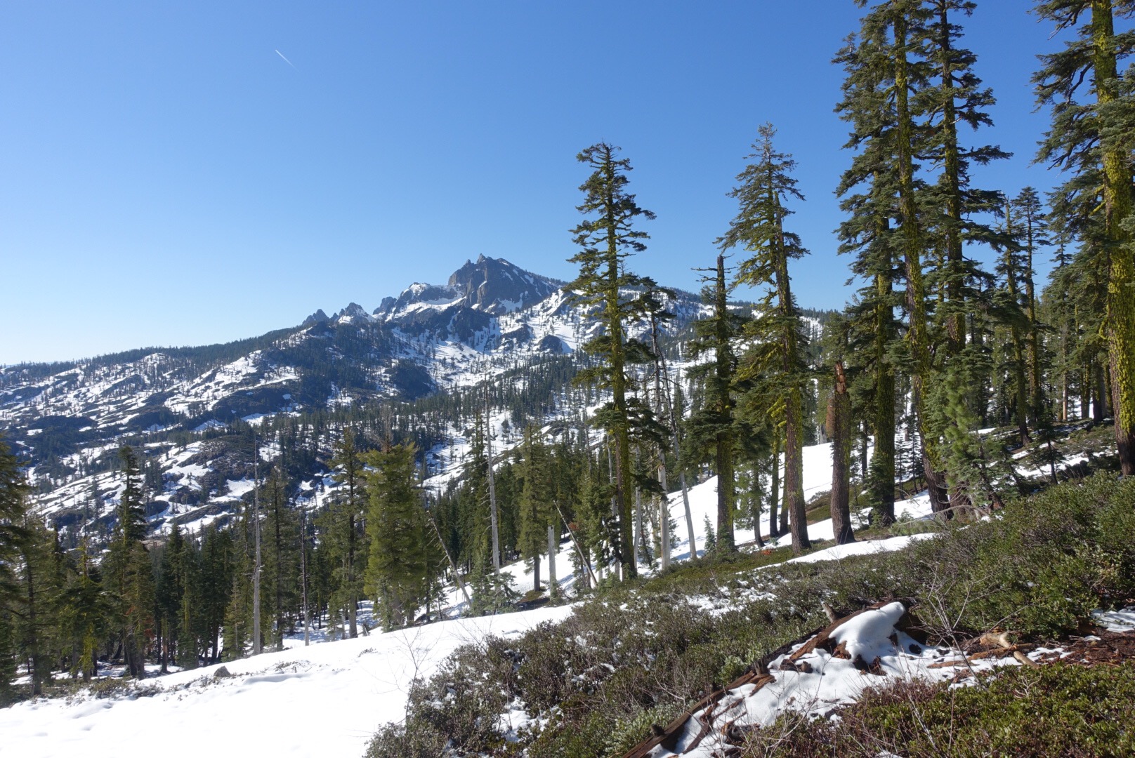
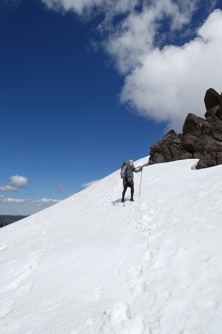
We hit snow right away. It looks like there is consolidated snow under the recent snow here, unlike yesterday’s section. Unfortunately, it’s all slush with no firm grip. Even first thing on a cold morning. We didn’t even bother with our spikes because there’s no point. Our shoes, still wet from yesterday, immediately picked up more water from the wet snow and it wasn’t long before my feet went numb. These are not ideal conditions. It makes me miss the hard, crunchy, dry snow we had in the High Sierra.
Not helping matters, we had to stop for water almost immediately since we weren’t camped near flowing water last night. Getting warm again after the stop became a challenge.
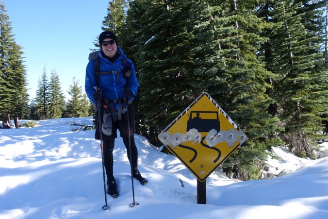
Watch out for winding road and rogue shooters.
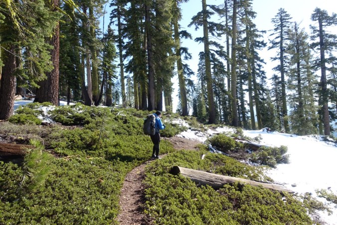
Dry trail! For about 30 seconds.
Our first section this morning also presented difficult navigation issues. We initially tried to directly follow the trail, but that route took us along a steep and tree-filled hill. It did not make for a comfortable traverse in the slushy slow. We tried finding a better route that would keep us on flatter ground, but probably didn’t end up on a particularly efficient route. Our first mile of the day took forever. My feet remained frozen. Due to the recent snow fall and relatively few people out here hiking this section, there is only a single set of footprints to follow. We haven’t always agreed with the prints’ navigational choices though, so we aren’t always following them. We ended up following a snow-covered road that was close to the trail for awhile because it was much easier (and safer) to follow than the trail.
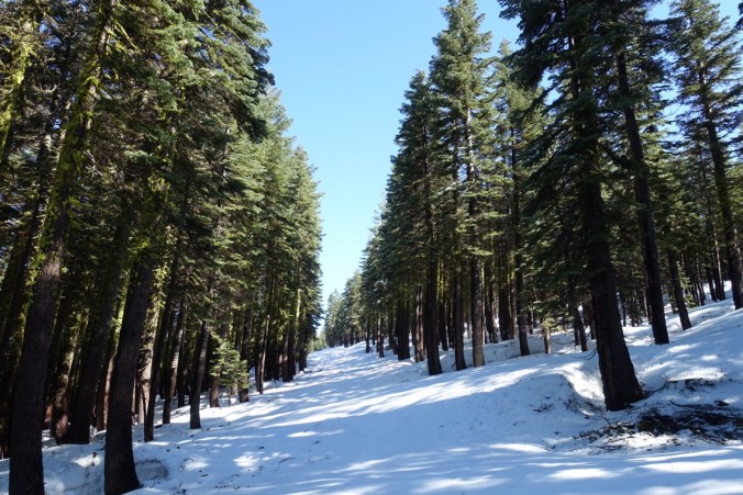
We followed this road for a bit. Much easier than navigating the tree wells and steeper slopes (to the right).
We stopped for lunch near Summit Lake. All of our stuff is wet, so we took advantage of the sun and some dry ground to yard sale our stuff. With the sun out, we finally started to warm up! The lake on the other hand still had a ways to go and was still ringed in snow and ice.
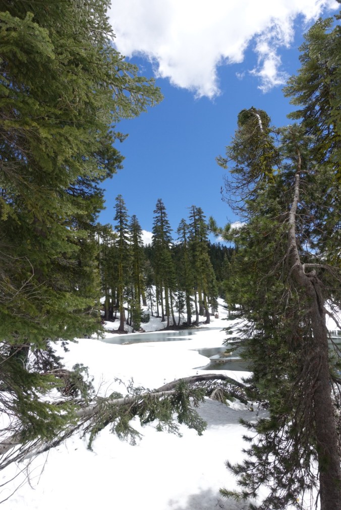
Summit Lake peeking out from the snow.
The trail wrapped around the hillside for awhile immediately after lunch. We tried to follow it for a little while, but the footing was bad and slippery. Michael was in the lead and at one point the snow beneath him gave way. He started sliding down the hill and fell back/head first into a tree well below him. It was quite the scary sight (and I’m sure scarier in person), but luckily he landed on his pack and emerged with no major injuries (but quite a fright). We decided that following the trail’s line was not a good idea and backtracked a bit so that we could stay on top of the ridge line above.

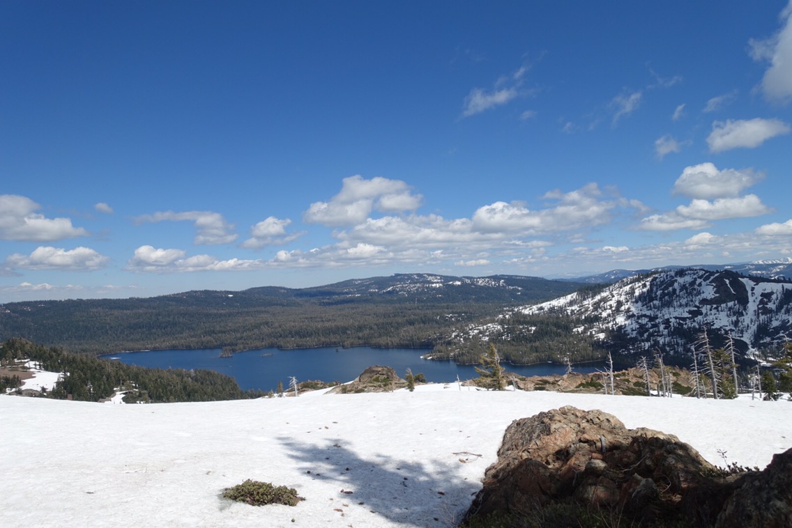
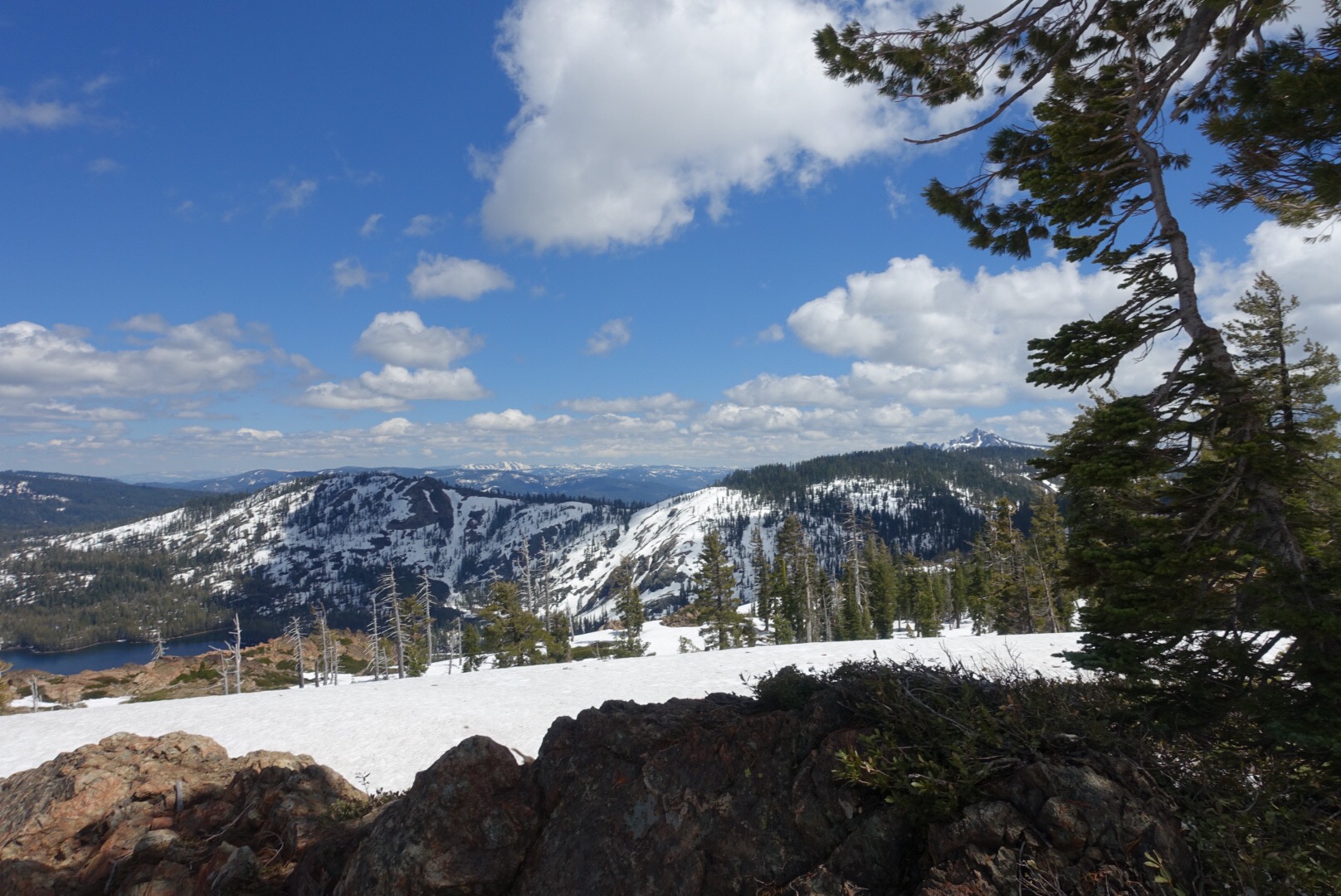
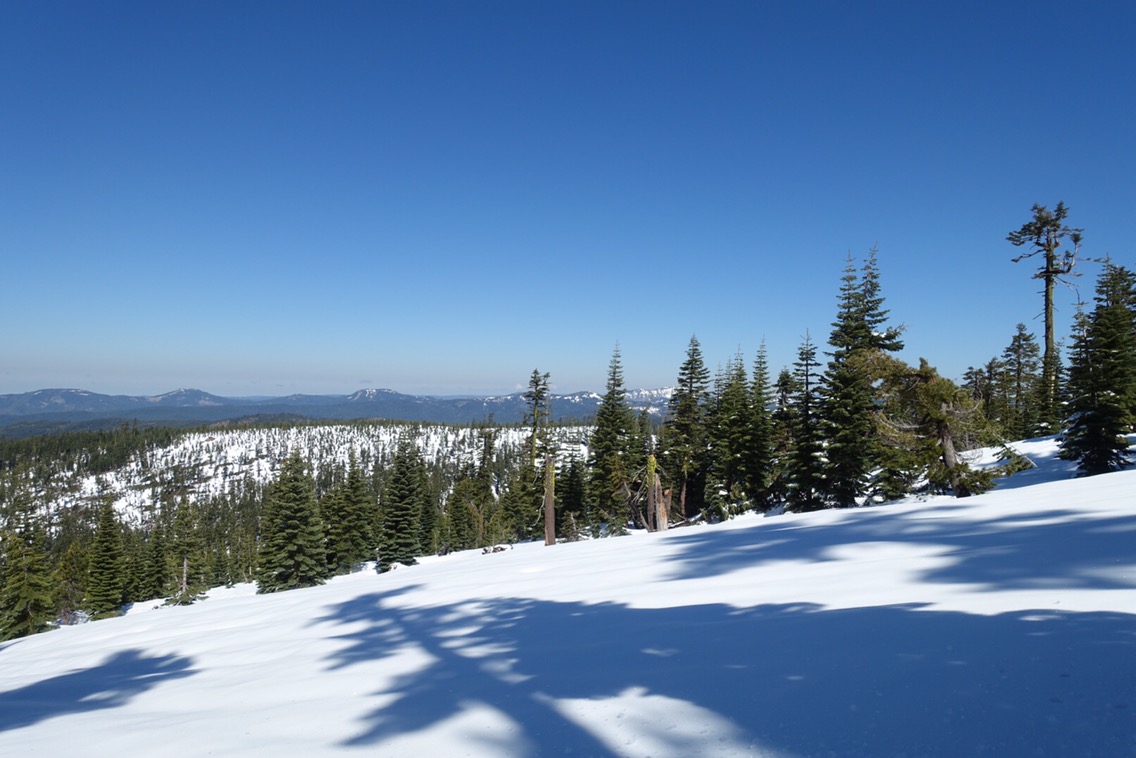
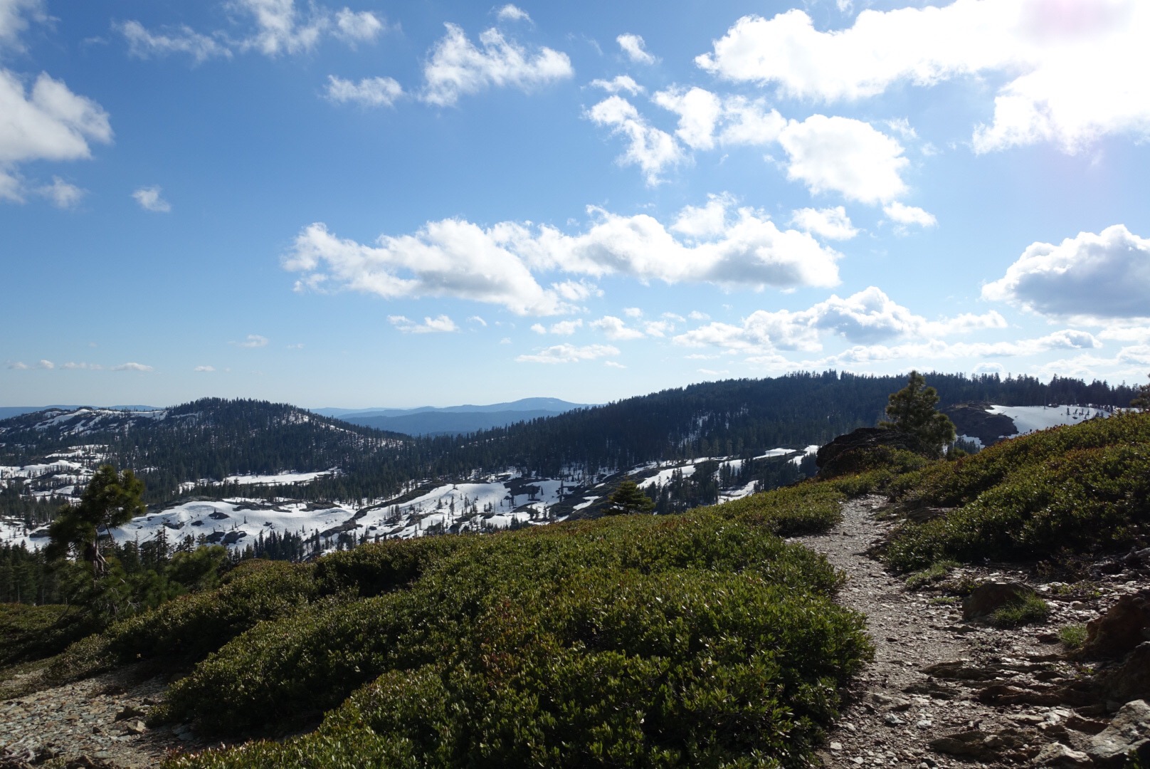
Navigation for the rest of the afternoon was somewhat easier. We could see several large lakes in the distance as we hiked along the ridge line. Then we dipped back into the forest. Navigation was a little bit tougher amidst the trees, but I think that we’re improving in terms of strategizing on the most effective route to take. Still lots of hard work though and an overall slow-going day.
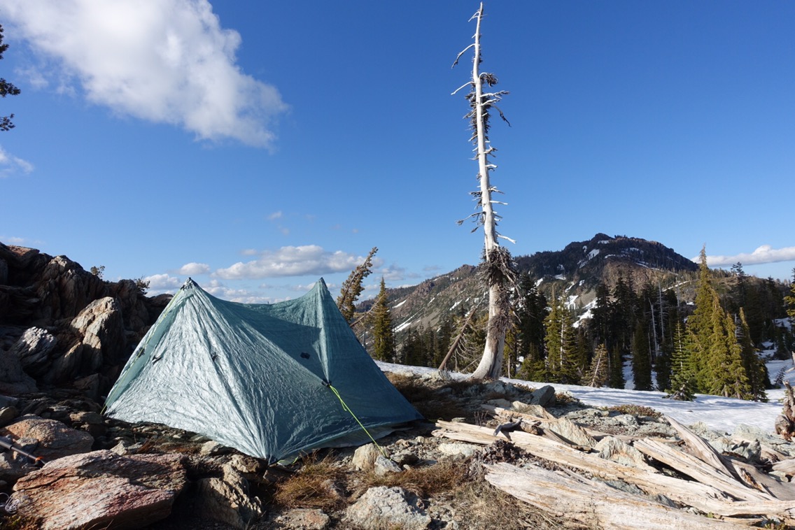
We found a rocky outcrop with dry space to camp for the evening. We’re also starting to master pitching our non-freestanding tent using rocks, which were plentiful here. I even found water in a small puddle nearby, so hopefully no need to stop early again tomorrow for water.
 This section has been much more slow going than we expected. We packed 8 days of food for a 90 mile section, but so far we’ve averaged less than 10 miles per day. This is not good news! Looking at the elevation profile for the section coming up, it looks like we should drop below the snow line (about 6000 ft I think) for awhile, but we’ll really need to pick up the pace. It’s also worth noting that we haven’t seen a soul since we got on the trail yesterday morning! I guess we were the only ones dumb enough to leave yesterday during the end of the storm. All-in-all a frustrating day. After having skipped to avoid raging rivers we’re now finding the soft snow to really slow things down.
Current ailments:
Elizabeth: none.
Michael: sore back, bruise on hip.
